In about 2 1/2 hours, we reached our destination: Wilderness Gateway Campground, a Forest Service Campground across the river from the highway. We’d made a reservation (which turned out to be totally unnecessary) for a site in the D Loop. That turned out to be the equestrian loop. And we had it all to ourselves with a nice long paved site with a slightly aged pile of horse manure smack dab in the middle of the end of the site. We got parked so the manure wasn’t in front of our door and set up camp. This being a Forest Service Campground there were of course no hook ups which makes setting up that much quicker.
After lunch we took a drive to read the notice boards to figure out when the generator hours were. There’d been no info about it on our reservation paperwork and nothing on the website. And guess what? There wasn’t any info on any of the notice boards either. Quiet hours were from 10 pm to 6 am so we figured that must cover generators too—which is pretty normal for the Forest Service. The camp host wasn’t home (it was Monday and probably their day off) so we drove on out over the bridge and I took a photo of the river.
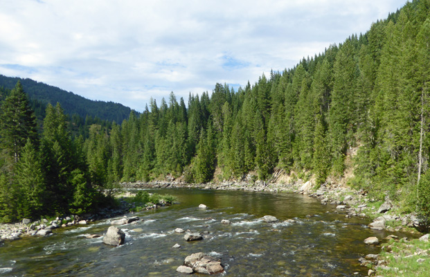
The trees here are really healthy and the water is very clear—just not very deep.
The campground is called Wilderness Gateway because there are trails here that lead up into the Selway-Bitteroot Wilderness. In fact, the uppermost loop of the campground is an area where outfitters have cabins and a barn and corrals.
Having thoroughly explored all the loops, we went back to the trailer and set up the solar panel since the sun had come out. Of course within half an hour, the sun had gone behind the trees but hey, it was out and ready for the morning now.
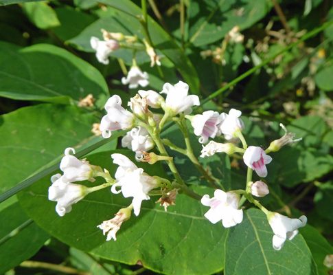
I noticed an odd plant growing at the entrance of our campsite: Mountain Dogbane (Apocynum androsaemifolium).
It had been in the mid 80’s and humid when we arrived but once the sun went behind the trees it started to cool off fast. We sat and enjoyed the sounds of Boulder Creek (just down the hill) and the birds in the meadow nearby and hardly noticed the smell of horse manure that came in the back window!
By the time we were done with dinner it was down below 70. Which was a welcome surprise since we were at a much lower elevation than we’d been at Winchester.
Tuesday July 17th, we awoke to sunny skies. It took a while for the the sun to clear the trees and hit the solar panel but eventually we got 5 or 6 hours of direct sun. While we were eating breakfast a wild turkey walked slowly through our meadow looking cautiously in all directions. When she hit a particularly open area we realized why. She had 3 or 4 pretty small chicks with her. The grass was too tall and they were perfectly camouflaged so I couldn’t get a decent photo of the happy family. It warmed up quickly so we headed out to do our outing. Our first stop was the Lochsa (pronounced Lock-saw) Historical Ranger Station. The log buildings here were build in the early 1920’s and survived a huge forest fire in 1934 thanks to the valiant efforts of the men stationed here. The old Ranger’s Residence sits next to a garden enclosure.
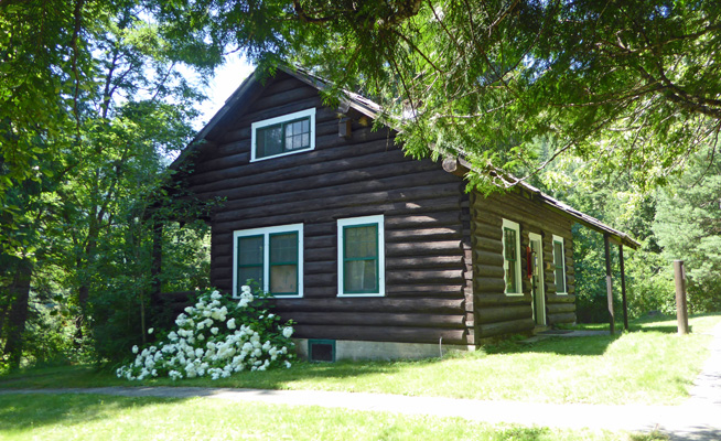
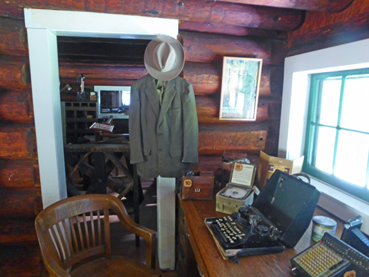
They’ve fitted it out with furnishings of the era including a treadle sewing machine and an old phonograph. The ranger lived here with his family so there was a children’s room too.
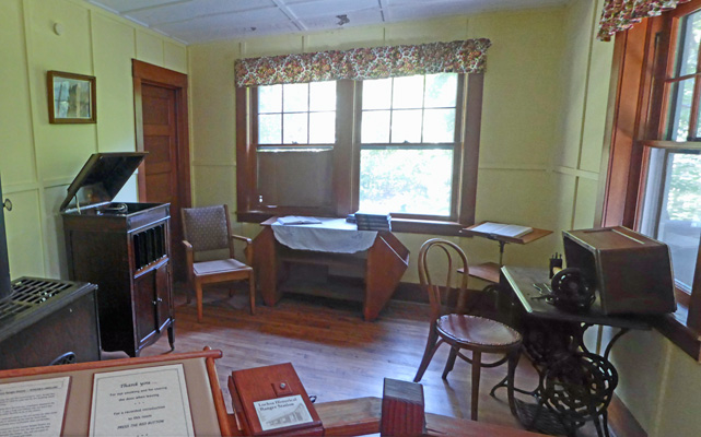
The phone system is still extant.
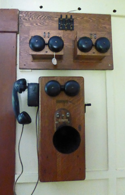
There was a whole wall of bells in the office up the hill. And the ranger’s desk was set up very nicely.
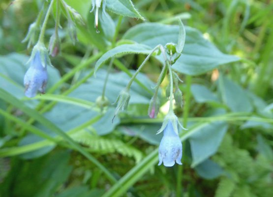
Having enjoyed visiting with the docents in the visitor’s center (which was originally the assistant ranger’s house) we drove on back to the campground to do the Bird Trail. The first section of the trail is paved and takes you to the amphitheater. From there it becomes a very narrow rough path with rotting wood walkways in places. I don’t think anyone had whacked back the undergrowth yet this season and so it was pretty rough going. I found some tiny Tall Bluebells (Mertensia paniculata) growing in a marshy area.
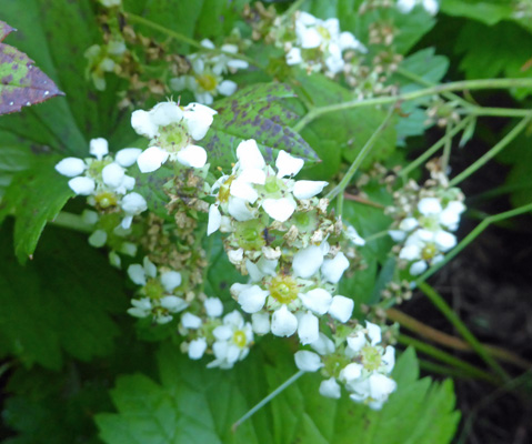
There were also some of these interesting white-flowered plants with huge wide leaves, which turn out to be Large Boykinia (Boykinia major).
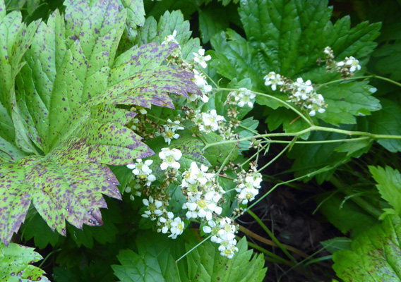
The flowers are really interesting.
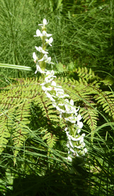
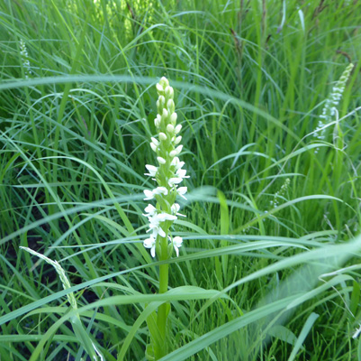
I also spied 3 or 4 White Bog Orchids (Platanthera dilatata var. dilatata) in a wet area.
We came to a fork in the trail and took the left branch which took us into the B Loop of the campground. It was hot by now (close to 90) and we found a picnic table to sit at and decided that the trail wasn’t interesting enough to continue with (the footing was bad too) so we walked back on the road to the truck. On the way we saw a white-tailed buck crossing the road.
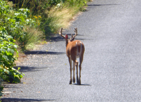
He headed off into the bushes without a sound.
The temperature stayed in the low 90’s all afternoon and the trailer made it up into the mid 90’s. No electricity equals no air conditioning. But there was a breeze from time to time. I spent some time sitting outside in the shade moving the solar panel to keep it in the full sun. And in the end paid for it since the no-see-ums made a snack of me. By morning I was pretty itchy.
Once again the temperature dropped quickly when the sun went behind the trees and it was in the low sixties by the early evening. It sure is nice that it cools off so quickly when it’s been that hot.
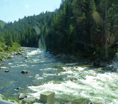
Wednesday July 18th, we packed up and headed east on Hwy 12 about 2 hours, following the Lochsa River up to the top of the pass. There were lots of motorcycles on the road but really not all that much traffic. They had a repaving project going so we had two sections where we had to wait for a pilot car and then got to drive slower than usual for a bit. I managed to get a shot of the Lochsa in one of its wide smooth sections.
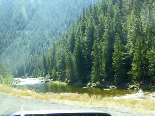
And one of its white water sections.
We entered Montana (and Mountain Time) at the top of the pass and then drove about 6 miles on down the mountain to the Lee Creek Campground. This is a Forest Service Campground that is entirely first-come-first-served. When we arrived there were only two of the 20 plus sites in the upper loop that had been taken so we got a very nice side-pull-through spot that was level side to side! We set up camp and put the solar panel out. There were enough trees that it took a lot of monitoring to keep it in the sun but hey, we didn’t have anything else to do.
There was no cell signal here as had been true at Wilderness Gateway, so we had lots of quiet time. Occasionally someone would drive through the campground to have a look and then drive out. It was in the high 80’s outside but the trailer stayed in the mid 80’s with the awnings out.
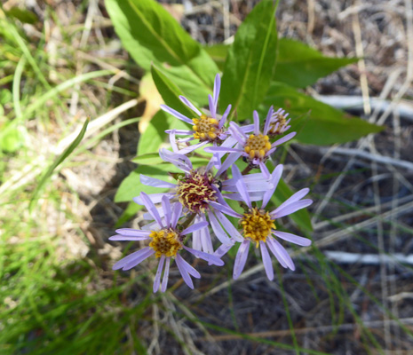
It got down to 41 early the next morning and we stayed snuggled in bed until it warmed up some. After breakfast we walked to the entrance of the upper loop of the campground to take the Lee Creek Interpretive Trail. The name makes it sound like one of those nice short relatively flat trails you find in many campgrounds and near visitors centers. This one even had a little booklet to go with the numbered signs. But it was neither flat nor short. It climbed steadily through the woods with a numbered sign every now and then. I stopped to take photo of the little asters that we’d seen a lot of down in the campground. I think that they are Showy Asters (Eurybia conspicua).
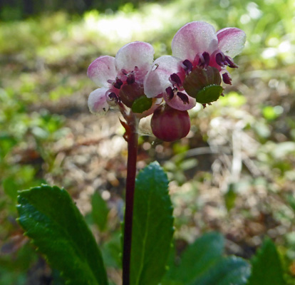
And I found a lot of Pipsissewa (Chimaphila umbellata) in bloom along the way.
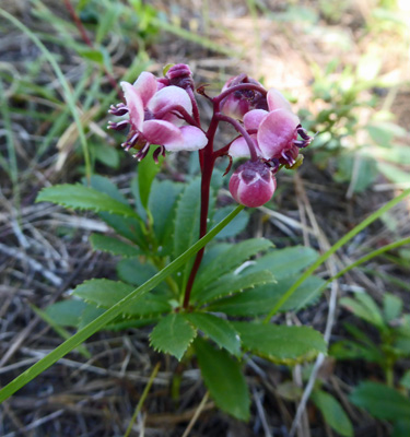
Here’s a close up of the flowers. Aren’t they amazing?
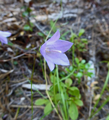
There were lots of Common Harebells (Campanula rotundifolia) too.
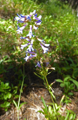
Here and there we’d see a penstemon of one kind of another.
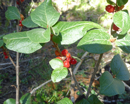
And Walter spotted this lovely red berries. I have no idea what they are but I don’t think they’re edible since I’ve not found them on any edible berry list for the area. One of my great panel of flower specialists let me know that this is Canada Buffaloberry (Shepherdia canadensis).
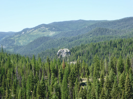
The trail continued to climb and we came out on a ridge looking northwest toward Lolo Pass.
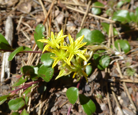
There were a lot of this little yellow sedum blooming in the sandy soil in the sun.
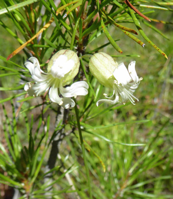
The trail went on for a good long while longer according to the sketchy map in the pamphlet but we’d had enough so we turned back. On the way back across the campground I found these Balkan Catchfly (Silene csereii).
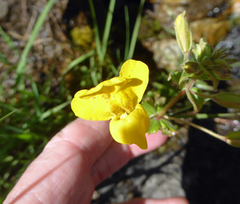
After a little hike we drove back up to the Lolo Pass Visitors Center to see what they had there. It turns out to be mostly focused on Lewis and Clark who came through Lolo on both their westward and eastward marches. Having explored inside, we went outside and noticed there was a little Wetlands Trail that made a 1/2 mile loop starting at the back of the Visitors Center. Walter opted to sit and enjoy the view while I hiked this easy paved trail. First off though I had to climb down among the rocks near a seep where there were monkeyflowers in bloom.
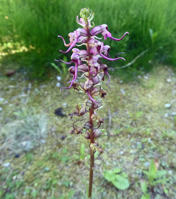
The trail went past a little wetland full of Elephant's head Lousewort (Pedicularis groenladnica). And I managed to find one right next to the trail to get a good photo of it.
There were also a number the White Bog Orchids (Platanthera-dilatata-var-dilatata) I’d seen at Wilderness Gateway too.
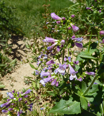
Along the trail there were a number of different penstemon.
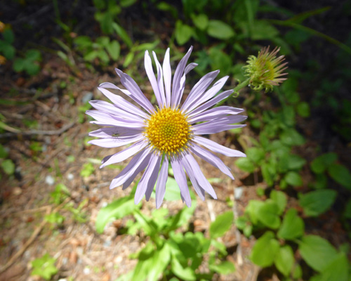
And what I think it’s Western Mountain Aster (Symphyotrichum spathulatum).
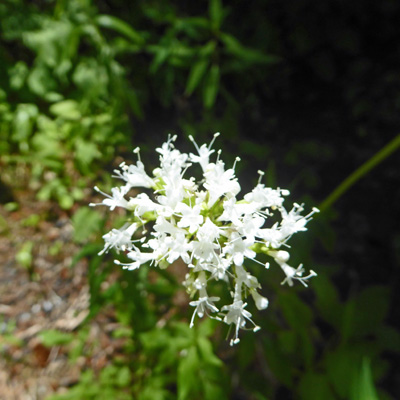
In the deepest shade there was Sitka Valerian (Valeriana sitchensis) in bloom too.
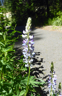
The Visitors Center had samples of things in bloom in the area so I’m sure that this is Silvery Lupine (Lupinus argenteus).
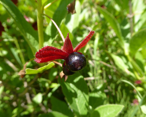
Remember those strange twinberry (Lonicera-involucrata) flowers we saw back at Kootenay National Park when we hiked in Marble canyon? Well, here are the berries.
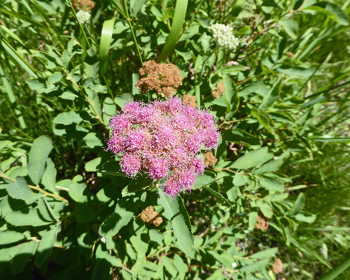
There was lots of Rosy Spirea (Spiraea splendens) in bloom in the sunlit meadow at the end of the loop.
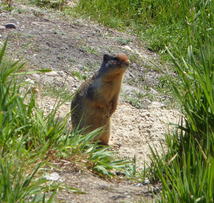
And a ground squirrel was waiting for me at the end.
We spent the afternoon moving the solar panel around, glad that it wasn’t humid and only hit 86.
On Friday July 20th, we packed up and drove a whole 25 miles east on Hwy 12 to the Square Dance Center and Campground where we had a reservation for 3 nights. They had WiFi that worked pretty well except for an hour or two and Friday and Saturday nights when they were FULL. And they had cable TV which we hadn’t seen since back in May. However, their laundry room only had washers and no dryers and I wasn’t into the idea of hanging my clothes up on the line so after lunch we went into the town of Lolo, 3 miles away, and did laundry in the fairly decent Laundromat there. To add to the amusement, the place had a lot of truckers in it since it was a down day for the road construction crews. It turns out the truckers who drive the asphalt trucks on this job all have their day off on the same day and they all knew each other. Those trucks run every 5 minutes up the highway and they were real concerned about the narrow road and all the folks on bikes grinding up the pass.
Saturday July 21st, we drove north on Hwy 93 through Missoula to visit the Garden of 1,000 Buddhas just off Hwy 93 (south of Flathead Lake) and then on to the National Bison Range off Hwy 200. Both of these outings provided us with LOTS of wonderful photo ops so I will leave them to a separate missive. I will say that we saw bison, a bear, elk, pronghorn, an osprey chick in a nest and a deer (on the way home). It was a highly successful wildlife day.
