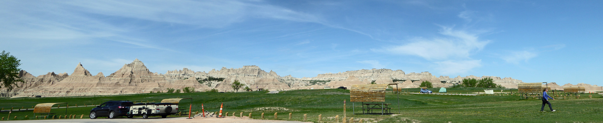
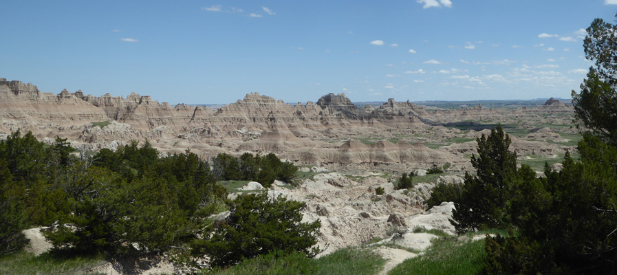
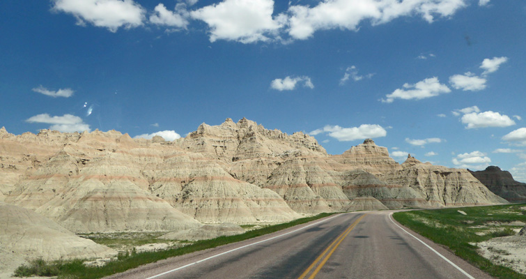
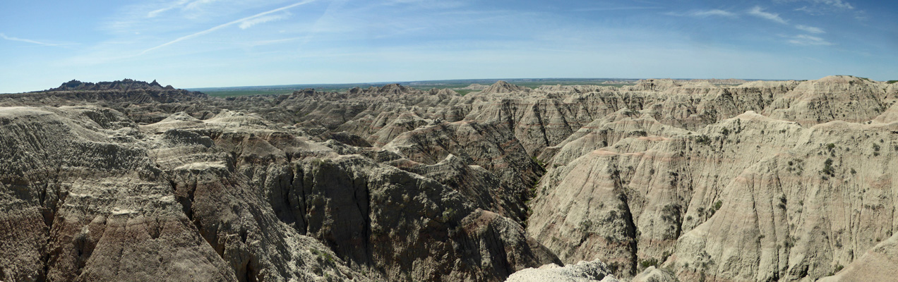
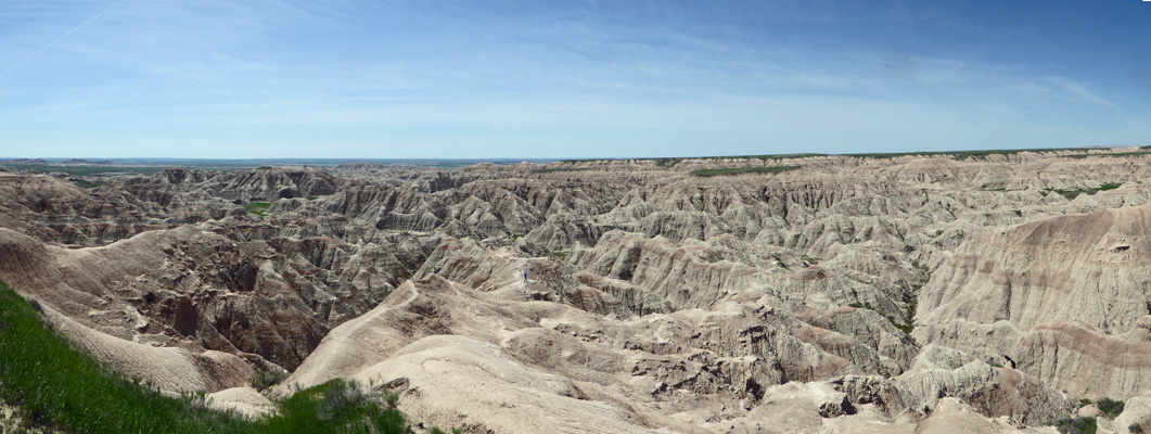
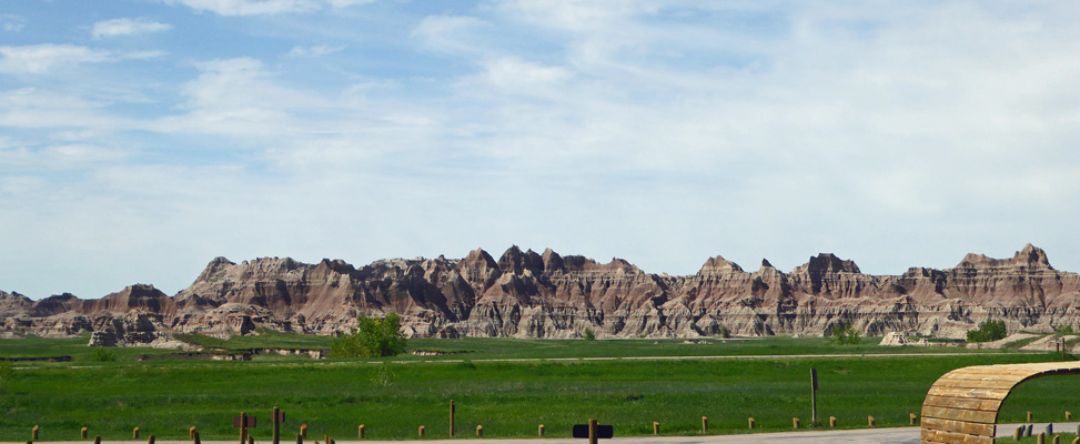
The drive only took us about 2 hours so we were set up and settled in by about 2 pm. The campground sits at the foot of the badlands so there’s a view. This is what we could see from the door of our trailer.
There had been free showers at Custer State Park that we’d used but it was so cold on Saturday (45 for a high) that I didn’t want to use them again. By the time we got to the Badlands it was nice and warm so I went off and fed my 50 cents into the box and got 4 minutes of nice hot water (75 cents gives you 6 minutes) and got clean again. These were not palatial showers (kind of tacky actually) but the water was hot so all was good. And showers in National Parks are not the rule so I counted myself lucky.
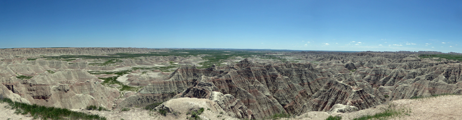
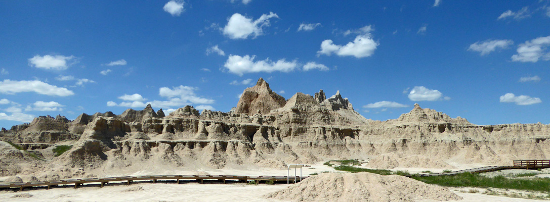
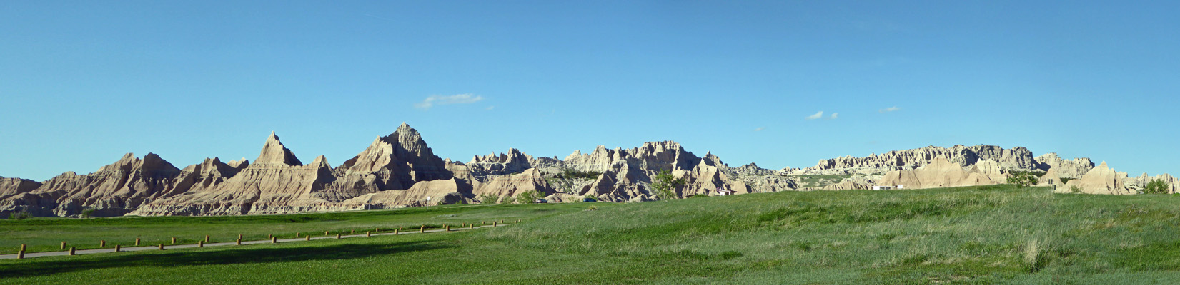
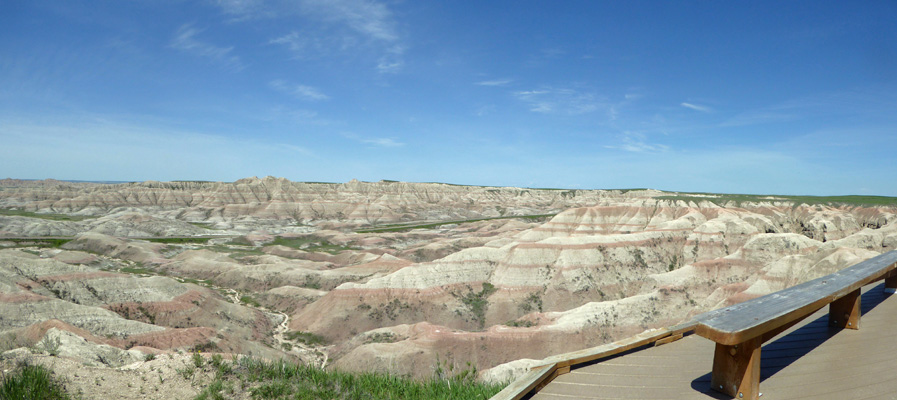
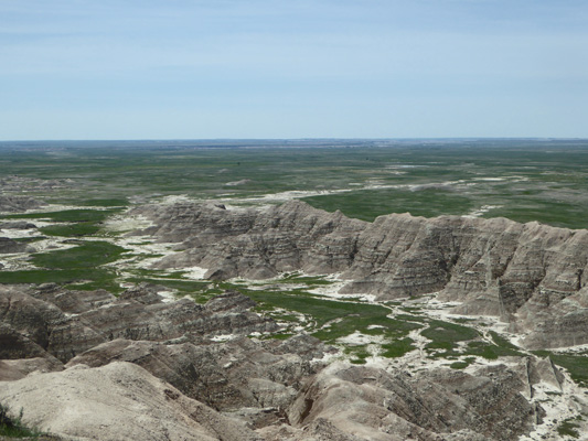
Monday morning May 21st, we headed over to the Visitors Center which is just down the road from the campground. The view from the parking lot is pretty nice.
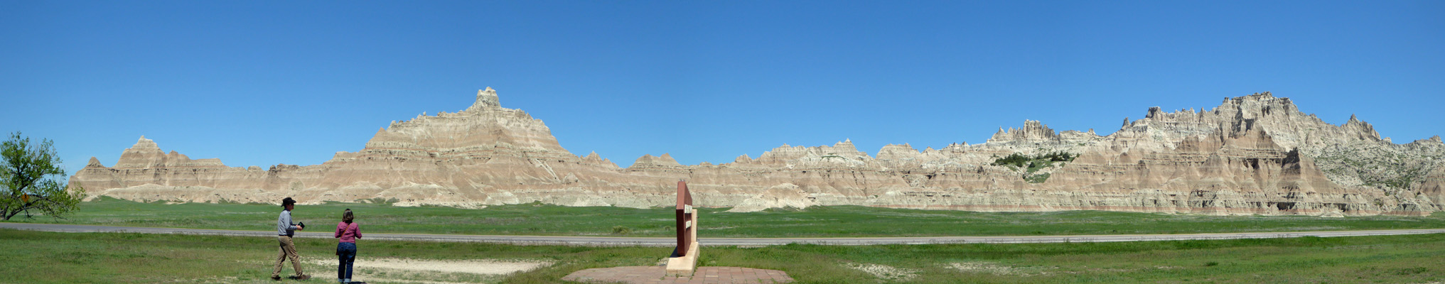
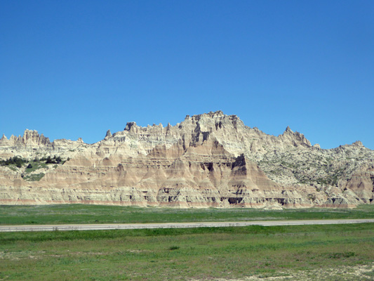
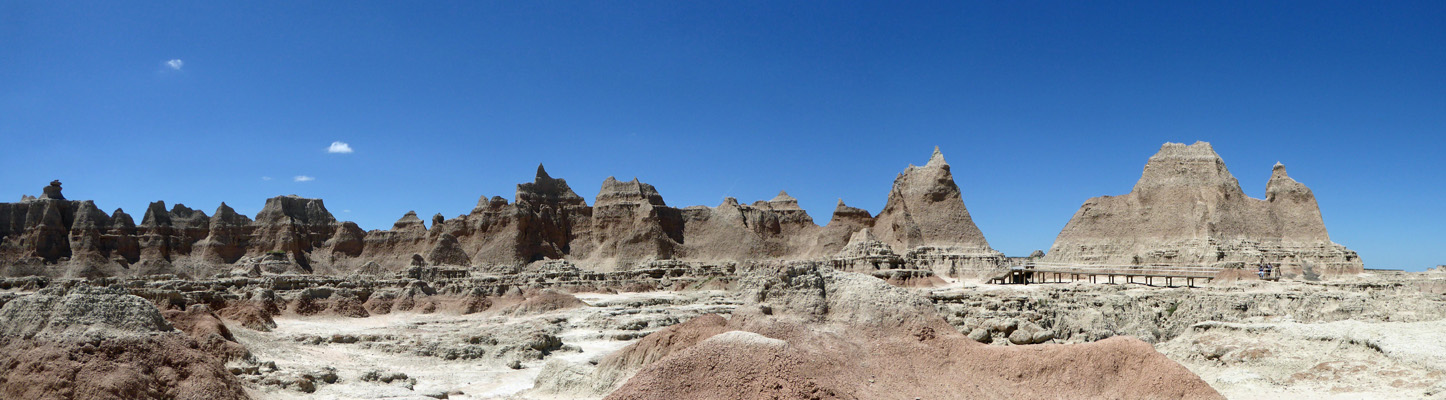
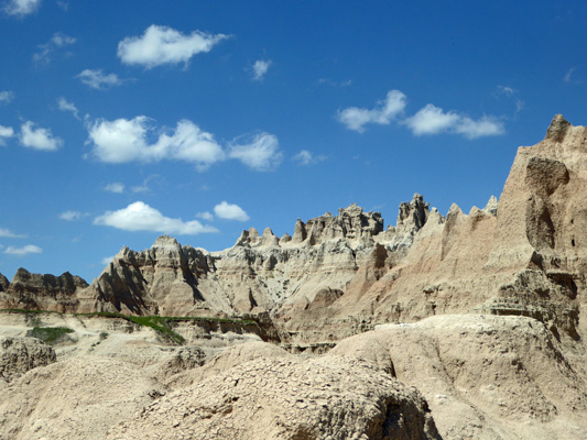
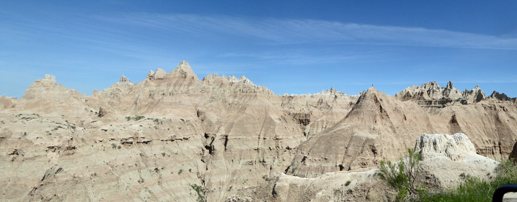
For those who find the panoramas a bit much to take in here’s just a regular old snapshot.
We went in and watched their nice movie (and visited their large well stocked gift shop) and then drove northeast on the Badlands Loop Road to stop at the Big Badlands Overlook.
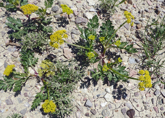
There was Leafy Wild Parsley (Musineon divaricatum) in bloom.
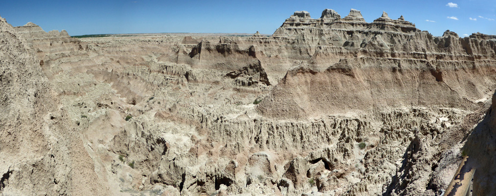
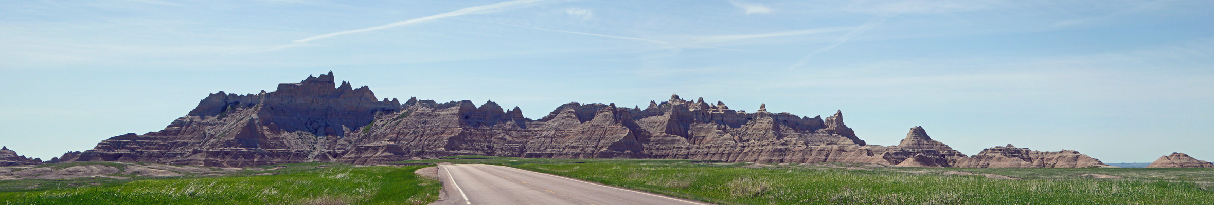
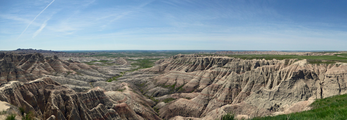
And a BIG view of the badlands.
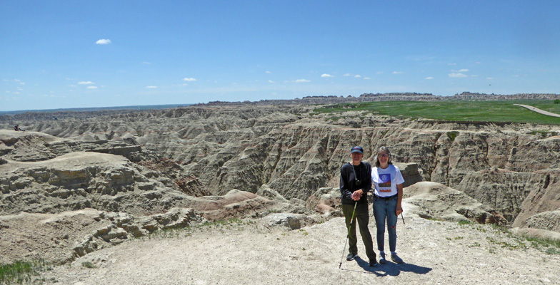
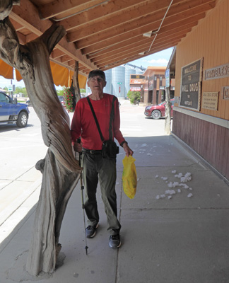
While I was getting ready to take a photo of Walter, a lady came up and offered to take a photo of the two of us so here we are.
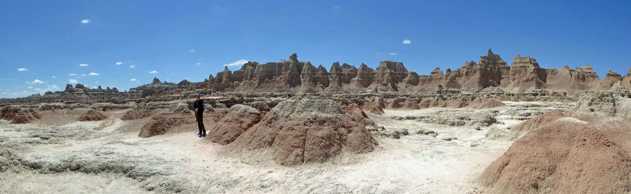
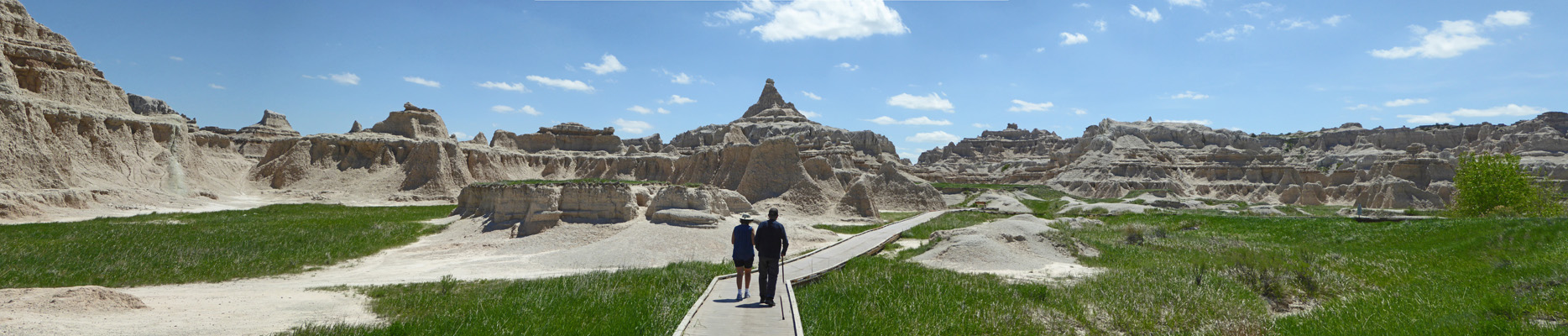
From here we drove south just a ways to the big parking lot where the bulk of the trails in the park start. For starters we took the Door Trail which takes you through a ‘door’ in the Badlands Wall so you can go out and wander in the formations.
The first part of the trail is a boardwalk and then you can follow numbered signs out across the rocks. They put great emphasis on following the signs since this is the area where the most folks get lost in the park.
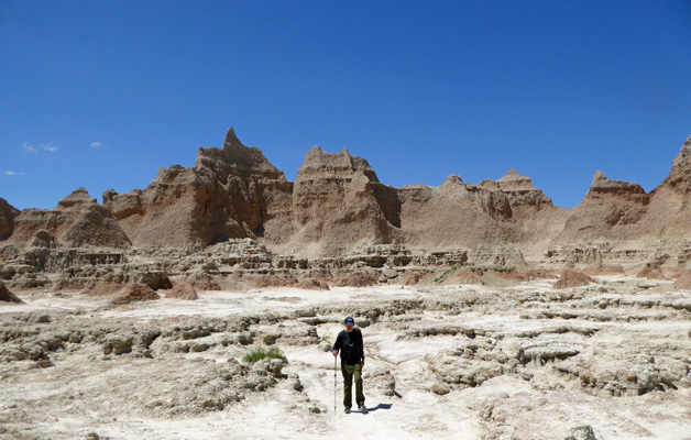
We went part of the way out and quit when the going got pretty uneven.
After taking this picture I turned around and took one looking the other way. You can see part of the boardwalk over on the right.
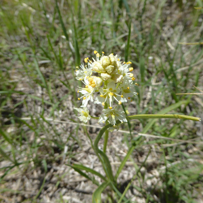
On the way back I climbed down off the boardwalk to get a photo of what I’m pretty sure is Meadow Death Camas (Toxicoscordion venenosum).
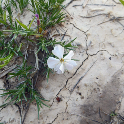
And while I was at it I found some Prairie Phlox (Phlox andicola) too.
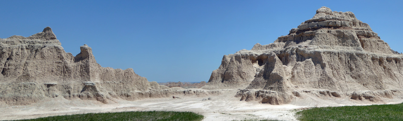
Walter took a pass while I took a quick walk out on the short Window Trail.
This is a boardwalk trail that ends with a close up view of the badlands formations out a small opening in the wall.
And gives folks access to some formations that you can climb on.
Then we drove down to the Cliff Shelf Nature Trail where a small portion of the wall has slumped and created a basin for junipers to grow in.
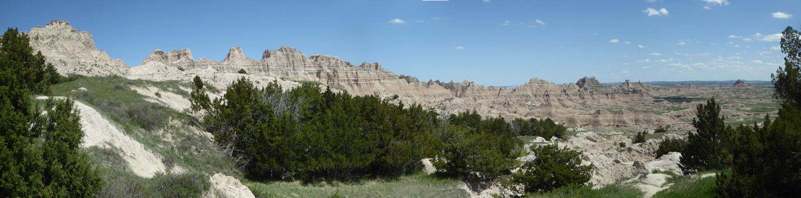
And you get an interesting view out across the floor of the badlands.
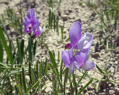
I found some American Vetch (Vicia americana) blooming along the trail here. Unlike our pesky weed vetches of the Northwest this one has flowers the size of sweet peas.
To finish off our day, we drove about 5 miles northwest to the Fossil Exhibit Trail (another short boardwalk trail).
The Badlands is a source of all sorts of wonderful fossils from the Oliogocene Epoch 23 to 35 million years ago. And the discoveries here helped spur interest in paleontology in the mid 1800’s.
The view is pretty nice too.
We drove back through the red banded formations that just called to me to stop and take one more picture.
The temperatures on Monday were close to ideal. It was in the mid-70’s and mostly sunny and things cooled off just enough to be pleasant that night, though we did run the heater a bit.
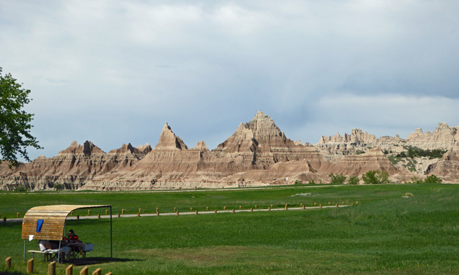
Late in the afternoon as the shadows began to grow I went out and took a photo of the view from our trailer. It’s amazing how different everything looks depending on the time of day.
Tuesday May 22nd, dawned sunny and warmer. We decided to spend the day driving the rest of the Badlands Loop Road and then take the Sage Creek Rim Road (unpaved but still good) out a ways before heading north to the town of Wall to visit Wall Drug. With this kind of mission the idea is to stop at as many overlooks as possible. So hold on to your hat and get ready to climb in and out of the truck over and over again.
First stop was a pull out as the road climbs up from the prairie.
Once you make it UP to the top and around the bend you can pull over again and look back at those same formations from the upper prairie.
We drove on past the Fossil Exhibit Trail where we’d been the day before and on to the White River Overlook.
Down there at the bottom is the White River. It picks up so much silt from run off in the Badlands that its water is always milky.
Next is the Bigfoot Pass Overlook where you can see the red bands really well.
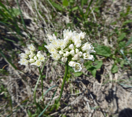
There were Prairie Onions (Allium textile) in bloom here along the boardwalk.
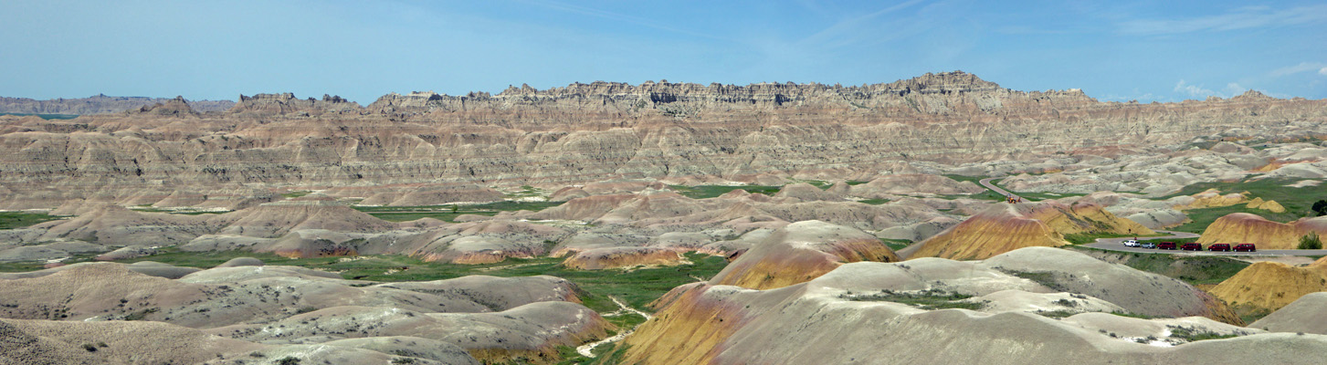
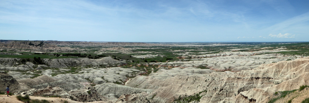
Panorama Point has such a huge view that I actually only got half of it in this shot but you get the idea.
I’m really glad that we came here in the spring when the grass was green. I like the contrast between the green and the reds of the formations.
Burns Basin gives you a view of an area that they tried to run sheep in at the turn of the century. Up top where we were standing there is plenty of grass but down in the badlands there’s grass only in the canyon bottoms.
And Homestead Overlook shows you a bit of grass that attracted earlier homesteaders who gave up after not too many years of hard life.
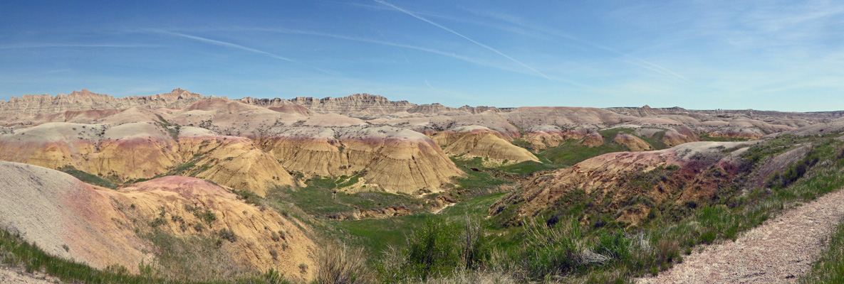
Conata Basin Overlook gives you the first taste of the yellow mounds which are the oldest (deepest) layers in the park.
The 4 red vans over on the right belonged to a group of students from University of Illinois. They were all standing on the top of one of the yellow mounds nearby.
The Yellow Mounds Overlook gets you up close and personal with these yummy formations. They remind me of peach melba.
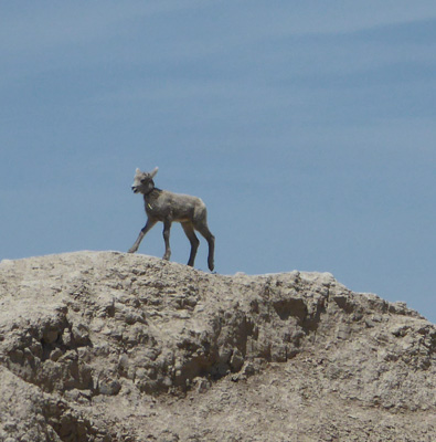
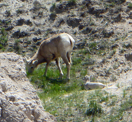
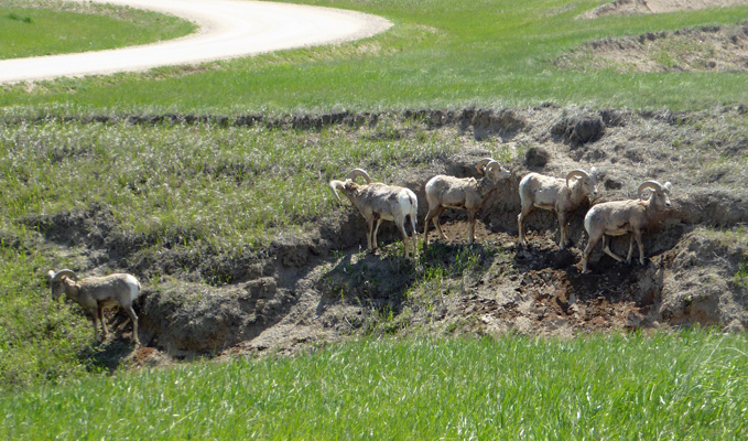
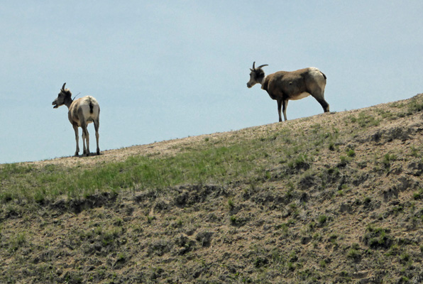
From here you go up hill a ways to the Pinnacles Point Overlook. And just before we arrived there we spied Big Horn Sheep in all sizes and varieties. Including this little gray lamb.
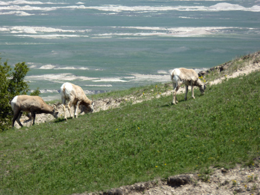
These ewes out in the grass across the road.
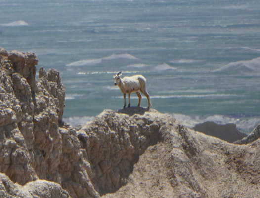
And another ewe (probably the mom of the first lamb) out in the rocks.
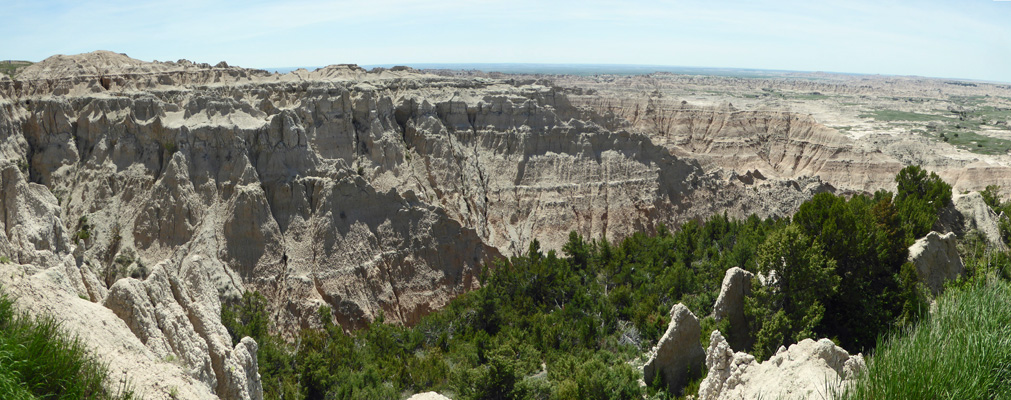
In addition to the sheep there is a pretty nice view here too.
A whole bus-load of folks arrived while we were here and they seemed much more interested in the sheep than the view so maybe I don’t have to feel bad that I got caught up in chasing sheep pictures too. If you look carefully you can see there’s a very small lamb to the right of this ewe.
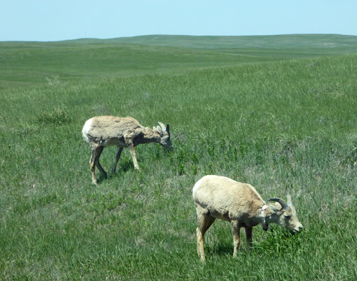
From here we turned west on the Sage Creek Rim Road (unpaved) and within a very short distance there was this big daddy big horn sheep right out our drivers side window!
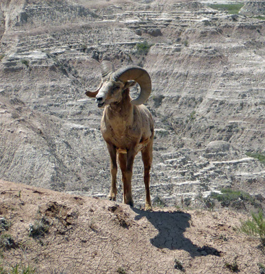
He posed for a while before he kicked loose the dirt and settled down to rest in the dust.
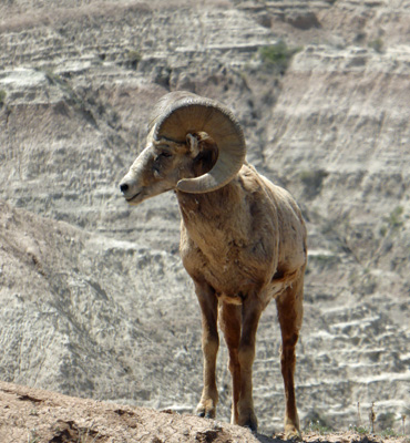
Is he gorgeous or what? And then Walter noticed in our rear view mirror that there were 5 more males (a whole bachelor group) just behind us. I even caught two of them having a bit of a disagreement.
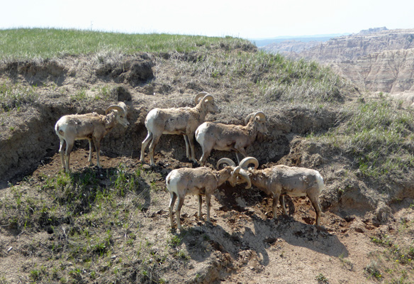
The one who lost moved off a ways.
Just past these guys we stopped at the Badlands Wilderness Overlook. This part of the park is wilderness—duh.
The sheep just kept coming as we drove on. One of these ewes has a radio collar. We saw another one with a collar later in the day.
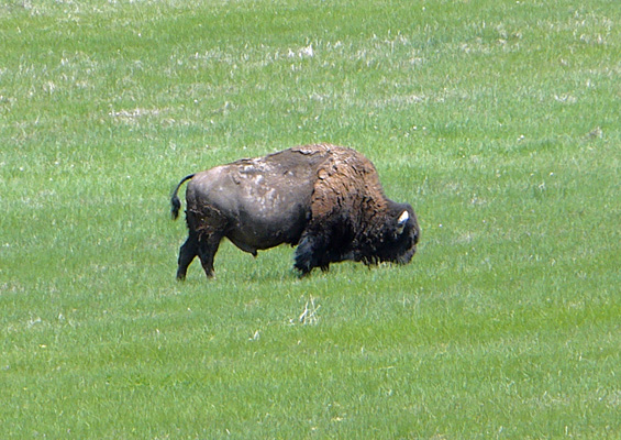
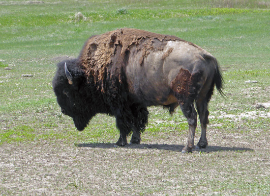
From sheep, we moved on to bison. First we came to a few solitary bulls and then in the distance we spied a pretty good sized herd.
Past the bison we came to Roberts Prairie Dog Town. It’s not often that critters like this get their own city limit signs.
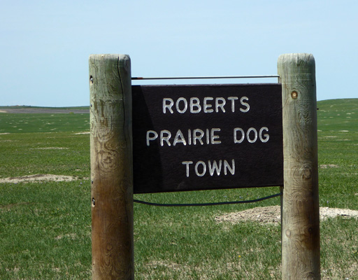
And of course there was a welcoming committee.
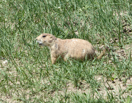
This is a huge prairie dog town and it goes on and on. They have two big areas with prairie dogs here both with the idea of not only preserving habitat for the prairie dogs but also for the black footed ferret who lives in abandoned prairie dog tunnels and feeds on the prairie dogs. As farmers and ranchers wiped out the prairie dogs, the ferrets became endangered. Now they’re starting to come back here. We didn’t see any ferrets because they’re nocturnal.
We drove about half of the Sage Creek Road and then turned north on Road 502 to make our way to the town of Wall (named after the Badlands Wall) where we got gas and visited the infamous Wall Drug Store.
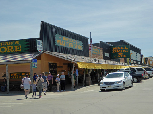
We actually went here because we needed some drug store things but the drug store part of the place is tiny in comparison to the souvenir stores and the café. The place goes on for at least a block if not more. They have western wear and who knows what else.
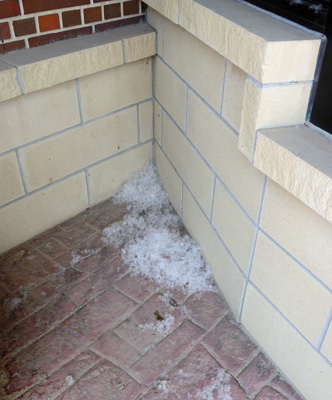
The cottonwoods in the area were in full cottonwood fluff stage and there was cotton everywhere—including in the store. I’m used to cottonwoods since we had them along the river in Monroe but I’ve never seen so much cottonwood fluff in my life. It was piled up not only along the curbs but in every corner including here by the bank.
The front awning of the store is held up by old juniper logs which makes it all very rustic. Note the cottonwood fluff on the sidewalk.
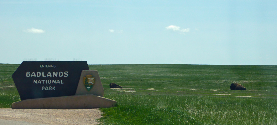
Having completed our obligatory tourist trip we returned to the park through the Pinnacles Entrance where there were a couple of bison posed near the entrance sign.
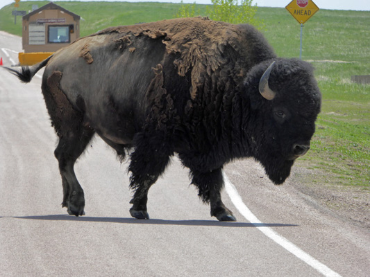
And this big daddy decided he just HAD to cross the road in front of us just before we went through the entry gate.
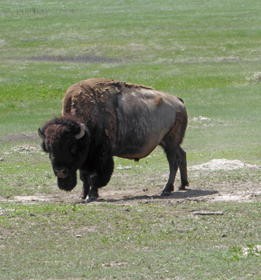
There were a couple more solitary bulls around too which provided entertainment while we waited in line.
 |
 |
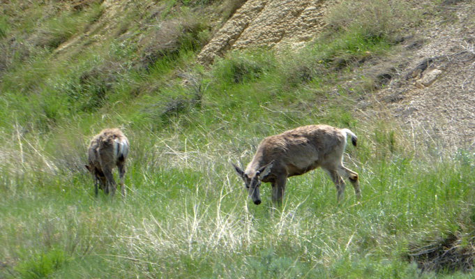
And then before we arrived back at the campground we saw some mule deer.
This was an all around very satisfactory day. We’d seen scenery and wildlife and done a little shopping too.
That evening Mother Nature decided she needed to put on a show too. We had a HUGE thunder storm complete with pelting rain and hail and wind that made the trailer rock. It lasted for several hours and while the weather report said it was supposed to stop by 10:15 we were on our second round of storm at 11:30 and then it poured and boomed again in the middle of the night. The tenters were all very wet and bedraggled in the morning. Many of them had spent the night in their cars. There were huge puddles in the low spots in the campground and I was so thankful to be on high ground and living in a nice dry trailer.
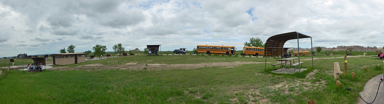
We took the day off for a quiet down day on Wednesday May 23rd. Or so was the plan but long about 11:00 we were invaded! Two Rapid City Area School District buses arrived and disgorged 80 or so middle schoolers who swarmed the picnic tables and had lunch. About 20 minutes later ANOTHER 2 buses arrived with yet another 80 more kids. Yikes! The good news is that they only overlapped for about 10 or 15 minutes. But that was a whole lot of high strung energy during what we thought would be the quietest part of the day.
They were all gone (and a teacher had come by to apologize for them bothering us) within an hour or so. Whew.
It was cloudy and in the 70’s until late afternoon when the sun came out and then it climbed into the mid-80’s. We hung out, had showers and I got caught up on things like this missive! When the sun came out you could see that the rain had darkened the reddish layers in the Badlands so the bands were more visible.
I bet the red bands out at Bigfoot Pass were amazing! Still they were pretty nice here at the campground.
From here we headed into Rapid City for a couple of days to do laundry and grocery shopping before heading out to Devils Tower for a couple of days.