On Tuesday October 6th, it was cloudy but we didn’t have any rain yet. We took the drive over to Fort Flagler State Park on the north end of Marrowstone Island, only a short ways from Chimacum. Fort Flagler was a coastal artillery fort and formed the “triangle of fire” with Fort Warden over at Port Townsend and Fort Casey on Whidbey Island to protect Admiralty Inlet from the 1890’s until 1955.
Many of the fort’s buildings and and gun batteries remain and are open to the public. There’s a museum and they’ve turned many of the officers’ houses into vacation rentals. We stopped by the Park Office and talked to the ranger about the possibility of hosting with them next summer. All of their camp host positions were filled but there is a possibility that we’ll get to be back-up interpretive hosts for tours and the museum! We’ll hear about that in the next few weeks.
We drove on out to the campground where we’ve enjoyed camping before and I took a photo of the view looking westward to the Olympic Mountains.

There’s an active Naval Base where the crane is. And to the right is the lovely town of Port Townsend. If you turn and look to the east you can see Whidbey Island and watch the ferries as the make their way between Port Townsend and Whidbey Island.
On our way back off Marrowstone Island we stopped at the tiny pocket state park of Mystery Bay. It has maybe a city block worth of land but it has a dock and moorage. It’s actually considered a marine park and they have a park host who lives on his boat.
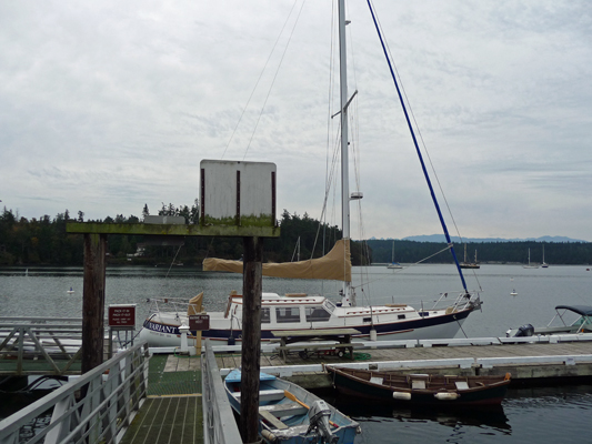
It’s a lovely little bay with lots of sail boats. This is the view looking south.

Turning west you can see a bit of the mountains.
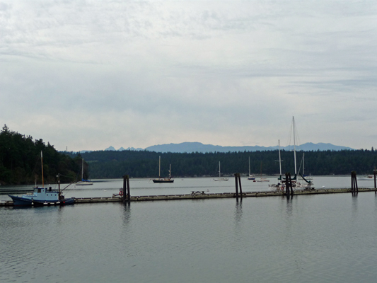
And this is the view looking north.
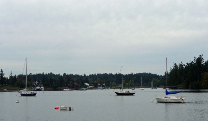
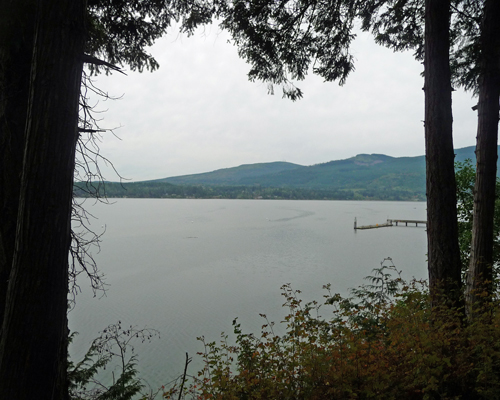
From here we headed north to Sequim Bay State Park for lunch. This is an older park with LOTS of trees so the campground is pretty dark. We’d stayed here years ago and thought we’d better check it out before we rejected it as a hosting possibility. We remembered correctly—way too dark for a one-month stay. But since we were there we stopped and had lunch overlooking the bay. This is the view looking southward along the bay.
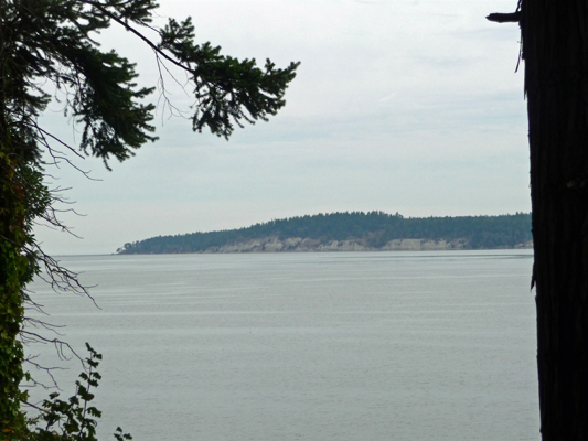
And this is the view northward to the mouth of the bay.
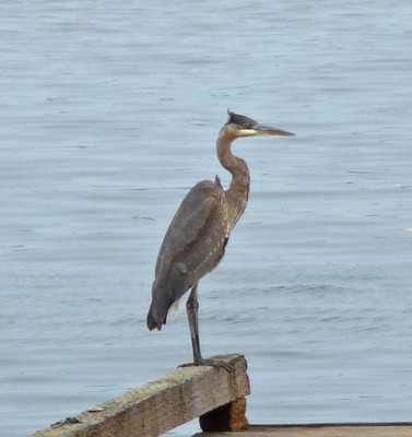
We took a turn down to the boat launch (which looks like it hasn’t been used much lately) and I spied this lovely Great Blue Heron perched in the dock.
On Wednesday, we had rain and we dedicated the day to grocery shopping and laundry. The laundry at the Evergreen Coho SKP park was large and inexpensive which was great. I signed up for a 3 o’clock spot and then used their free Wi-Fi while the washers and dryers did their thing. Such a deal.
On Thursday morning October 8th, we packed up and motored south to take the Tacoma Narrows Bridge across the sound ($12 toll for the truck and trailer) and then caught I-90 east to go over the mountains. The forecast was for rain the next few days on the west side of the mountains and we were ready for some sun again. The drive was a little longer than our usual limit of 200 miles but it was worth it. We arrived at the Sun Lakes Resort (a concessionaire located in Sun Lakes State Park) to find that it was Throwback Thursday. We got our full-hookup site for $14! We registered for 2 more nights while we were at it (regular off season rate of $27 a night) and settled in to enjoy some sunny days.
During the summer this place is FULL and expensive but in the fall the rates drop so that it’s less expensive than the state park campground and much nicer to boot. They have just gotten a dedicated fiber optic line put in and their free Wi-Fi was lovely and fast—of course there was hardly anyone in the campground to share it with and that always helps.
The trees in the campground were ablaze in fall color. We had a view of this lovely tree out our dining room windows.
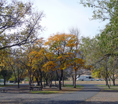
Friday morning October 9th, we took a nice stroll around the entire resort. There had been a large (about 50) flock of geese on the lawn in the campground when we got up but they had waddled away. We discovered they’d just moved on to the grassy area behind a group of cabins near the pool.
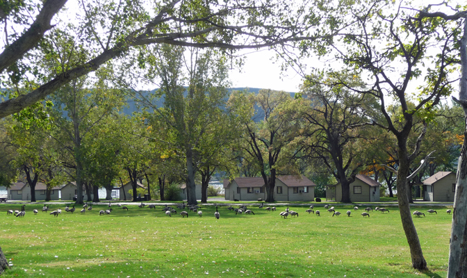
The resort has all sorts of different sized cabins including a row of them down by the lake. However none of them are right on the water since there are reeds in the way. But they do have a pretty nice view looking south over Park Lake and through the coulees.

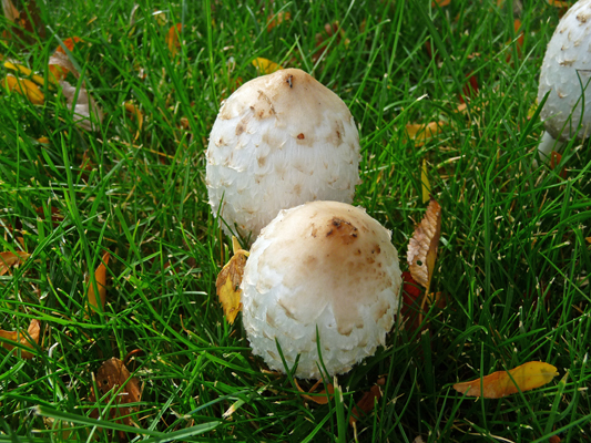
We wandered on and I spied a few mushrooms growing in the grass.
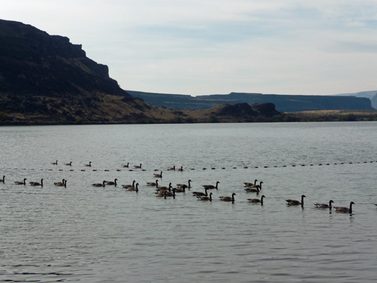
We walked past the swimming beach and out onto the dock. And who should we spy out in the water heading for the beach? The geese, who had taken off from the grass after we walked by.
They were in the process of putting the park to bed for the winter (the cabins close on Oct. 12th and the RV park closes at hard freeze—usually around Oct 31st). So much of the parking lot was full of moorage docks but there were still plenty for us to walk on out into the lake.
To the north you could see the tops of the coulee where the Dry Falls Visitor Center is.
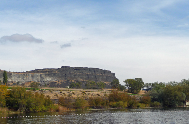
The 9 hole golf course is up on that little rise. You could play for free now that it was off season but we took a pass. Chasing a little white ball around is not up my alley.
Straight across Park Lake to the south is a large Day Use Area. When we were here in early September last year it was full of people playing in the water. It was empty all weekend this time.
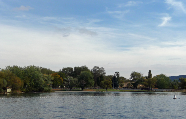
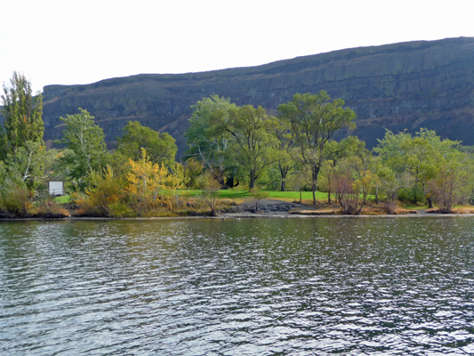
Closer by there was some fall color in the trees.
We stopped by the office and had a look at the gift shop where everything was 50% off. Walter needed new water shoes for kayaking and they even had a pair in his size. Score! From there we made our way back up to the trailer for a while. Then we packed our picnic lunch and headed up into the back country of Sun Lakes State Park to the Deep Lake Day Use Area.
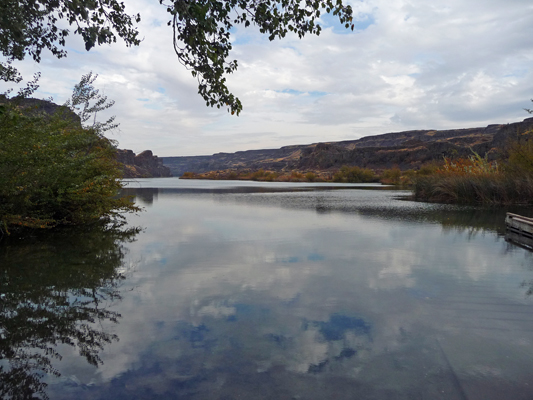
We took our chairs out onto the dock and had a great view of the lake while we ate our lunch.
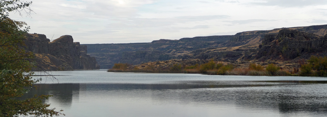
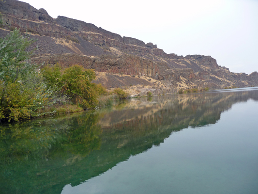
What little breeze there’d been died away and I got this great shot of the coulee walls reflected in the lake.
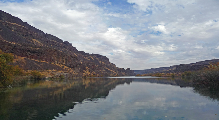
I was mesmerized by the colors of the cliffs reflected in the water.
Friday afternoon and evening the empty campground filled up a bit so we no longer felt like we had the place to ourselves. No problem there was still TONS of room between camp sites and everyone was pretty laid back and quiet.
On Saturday morning we headed out in the late morning to take the trail that goes along the south shore of Deep Lake. We were due for high winds and maybe a little rain in the afternoon so we wanted to get our hike in before the weather hit. It was still mostly sunny when we set out with really cool cloud formations whizzing across the sky.
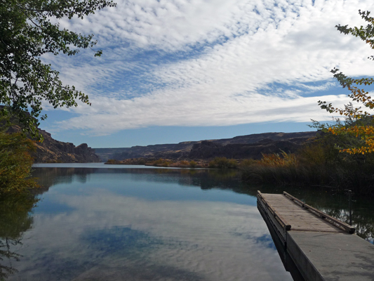
The trail starts just south of the dock with a nice little bridge.
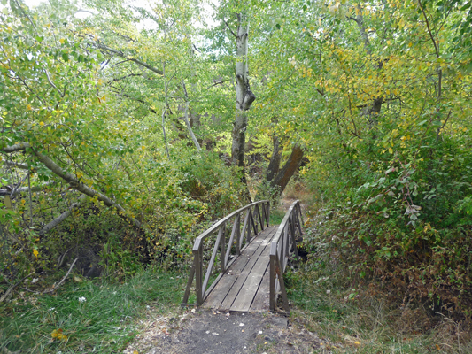
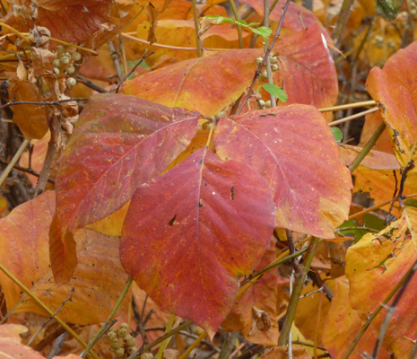
The trail winds through some trees that were starting to color up.
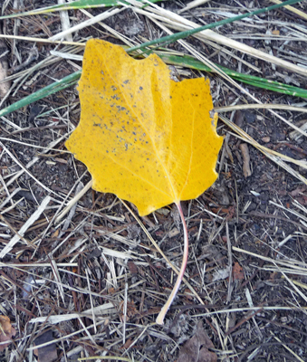
And the path was littered with lovely yellow leaves.
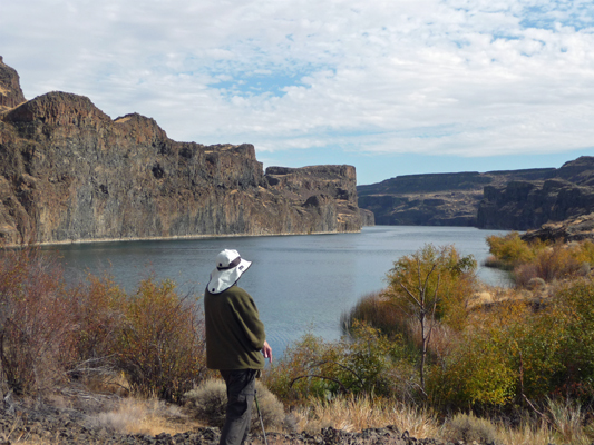
The trail goes along the edge of the lake for a while and then out into the sage brush only to touch base with the lake again. Deep Lake is a long skinny lake that stretches quite a ways up the coulee.

There must be white deposits on the bottom because it was a lovely green color in places. Here’s the view back towards the trailhead.

From here we followed the trail signs out into the grasses.
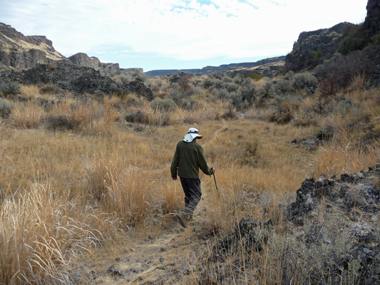
We lost the trail in amongst the rocks and ended up on a bit of a rocky hill with a view of the lake.
With some difficulty we found the trail again and carried on. Eventually the trail began to peter out. We followed it a ways past the last trail marker and decided we’d gone far enough. The sky was doing really fun things by now.
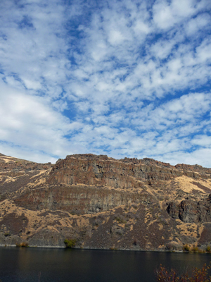
Across the lake on the coulee wall we’d spied a series of numbers painted a ways above the water line. On the way back, I stopped and took a photo of ‘0’. We’d also seen 1 and 2 before turning around. They were spaced maybe a kilometer apart. There’s no place to tie up on that side so we have no idea what they were about.
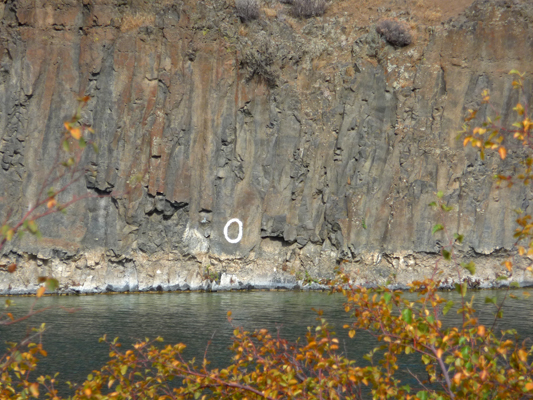
We followed a different set of tail markers on our way back so that we actually did a loop trail even though the map indicated it was an out and back. Right where the markers diverge I stopped to take yet another photo across the lake towards the trailhead.
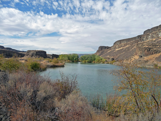
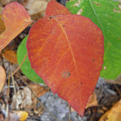
And of course I had to stop and take more leaf photos when we went back through the trees.
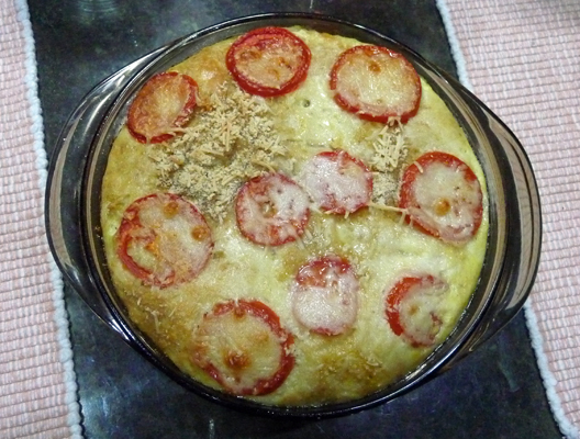
We got back to the trailer well before the weather set in. It was still warm (low 70’s) when the wind began to blow the fallen leaves all over the campground with a great clatter. Then we had a bit of rain. It was a perfect night to make one of Walter’s favorite dishes: Tomato Macaroni Bake. When I put it on the table he announced that it was so pretty I should take a picture. And so I share it with you here. And yes, it’s as good as it looks.
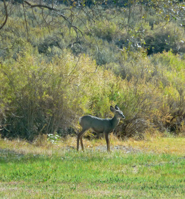
The wind howled off and on all night. But we had gorgeous clear skies by morning. We stopped by the office to extend our stay one more day (25% off the usual rate when you extend you stay) and then headed out to hike part of the Umatilla Rock Trail. Just as we came to the turn to leave the main Day Use Area we spied 5 mule deer. I took these photos through the truck’s windows so as not to disturb them. There were 2 fawns like this little guy plus a yearling who I missed.
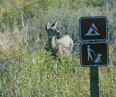
And a doe.
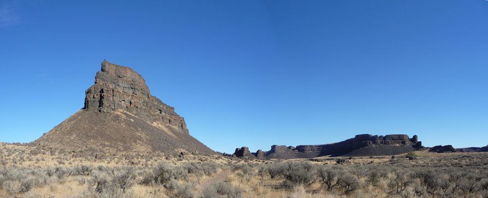
We drove out to the Umatilla Rock Trailhead (just a wide spot next to the road with an info sign) and I sat and watched the sky while Walter listened to the end of the Seahawks game (sigh, they lost). Umatilla Rock is the large formation on the left.
At last, we headed out going clockwise on the trail. This is a loop trail and if you’re planning on doing the whole 5-mile loop, then you head counter-clockwise. We headed clockwise so we could go westward towards Perch Lake.
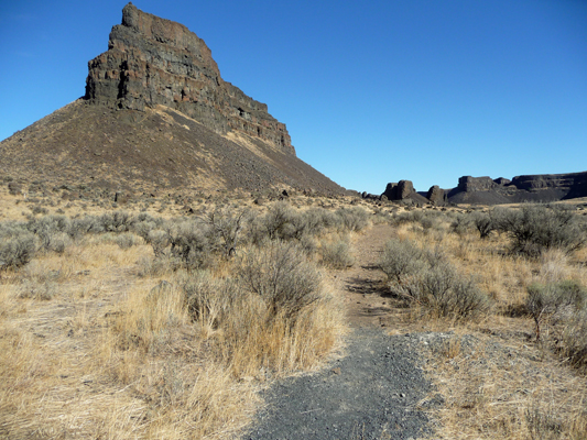
The trail goes over a rise at the base of Umatilla Rock and you come out to a place where you can see its west-facing side.
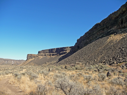
We followed the trail a ways and got a great view of Perch Lake to the west. The white building perched on the rim of the coulee on the right is the Dry Falls Visitors Center.

The trail crossed the road (it’s a gravel road that goes all the way out to Dry Falls Lake) and then went down towards the shoreline with a view across the lake and southward down the coulee.
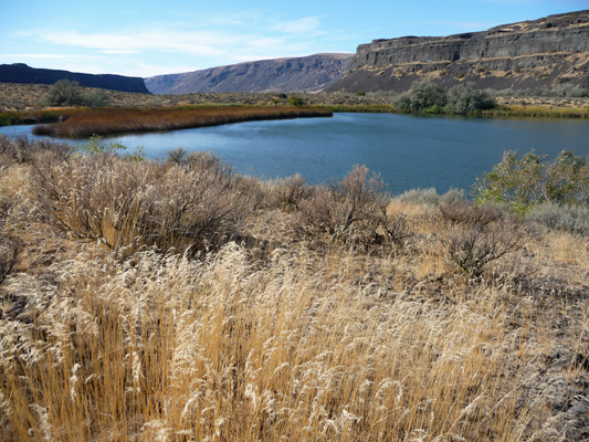
There were ducks and geese on the lake but every time we got near to them and I got the camera out they took off and flew across the lake. The trail takes you around the lake so you have a view back northward to Umatilla Rock again.

By the time we got to the north end of the lake we had a great view of Dry Falls itself. During the last ice age this periodically was a HUGE 3.5 mile wide, 400 foot high waterfall with catastrophic floods thundering over it.

Back in the 1960’s (I’m sure) they built the Dry Falls Visitors Center up on the rim. Oh, for the days when we all thought funny white buildings that looked a bit like strange UFO’s were cool.
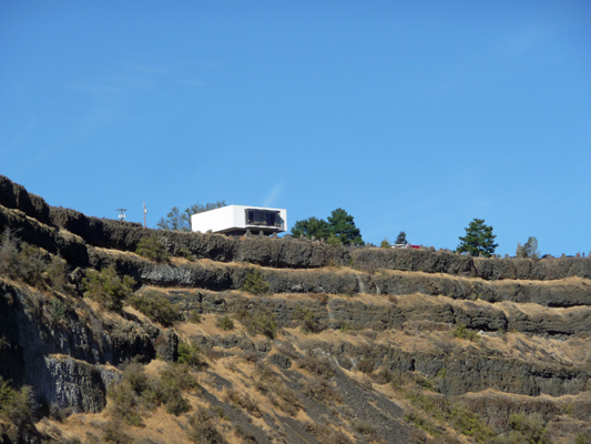
The trail came real close to the road here and we left the trail and took the road back to Perch Lake again.
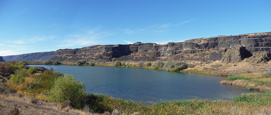
And then rejoined the trail a ways down to go back to our truck. It sure was nice to be in a place where we could hike two days in a row and have such gorgeous weather! After lunch we even took a nap. Ah the joys of being back on the road. I like camp hosting but I admit it, I like being on the road better.
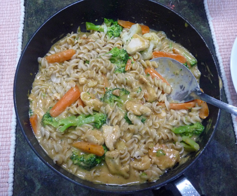
Sunday is Walter’s night to cook and he made one of my favorites from his collection of Campbell’s Soup Recipes: Chili Pasta Topper. He adds freshly sautéed onions and fresh veggies to the recipe to make it taste really great. Since it was so pretty when he put it on the table, I thought I’d include a photo of it too.
