The road passes Plumber Creek Marsh where the Lakeside Loop Trail takes you out on a boardwalk.
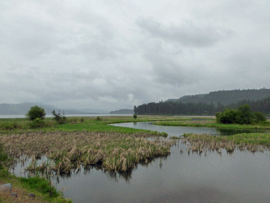
When we came back through here later we spied a couple in a canoe with a dog sitting the bow making their way through the wetland and on up the creek.
The road continues on past Plummer Point where they have a day use area and then out to Chatcolet where there is a tent-only campground and a nice boat ramp. We stopped and I got out in the light rain to get a photo of Chatcolet Lake.

Before they put the dam in up at Post Falls, there were 5 separate lakes in this area with the St. Joe River connecting them. But the dam caused the waters in Lake Coeur d’Alene to rise and all the lakes ran together into one big lake—and the river seems to have disappeared into it. There are signs telling you about the river flowing between the lakes but we couldn’t figure out where the river ended and each of the lakes began. The St. Joe is the highest navigable river in the US at 2307 feet—which was a big deal back in the old mining days.
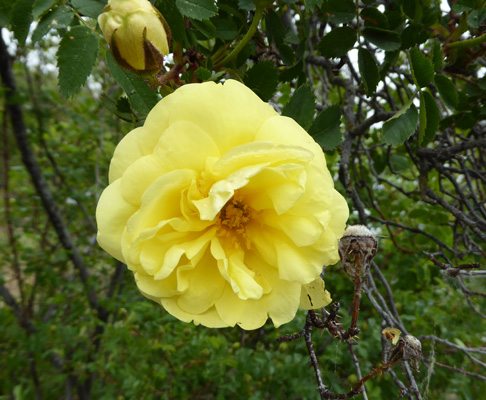
Over on the left of the above photo you can see a yellow rose that has just come into bloom. The bush was covered with buds and one lovely double rose.
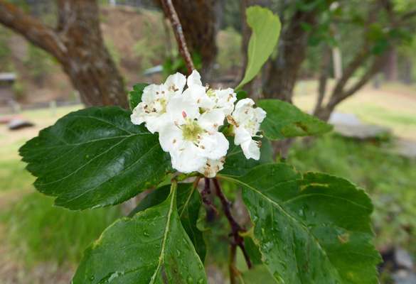
She was growing in front of a shaggy-barked tree in the rose family (like apples and cherries etc.) that was in bloom. It’s not a wild cherry or plum and it’s not a Hawthorn so I don’t know what it is.
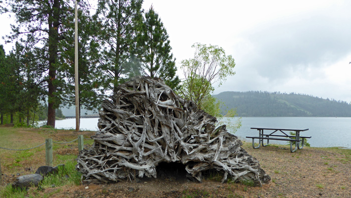
There was a nifty piece of an old root ball lying by the picnic tables too. Mother Nature does such cool art.
The Trail of the Coeur d’Alenes goes through this part of the park. It’s a solid-surface bike, hike and skate trail that starts in the town of Plummer about 6 miles west of here and goes 73 miles east to the town of Mullan. This was a major silver mining area and when they build the rail line to the mines they used tailings and waste rock with heavy metals in them as the road bed. The trail is actually part of an environmental cleanup project for the rail line. The west portion of the trail that goes through the Coeur d’Alene Indian Reservation has been entirely cleaned up—they have taken the dirt out 12 feet down and replaced it with clean fill. But on the rest of the trail, the pavement and the gravel on its edges helps to seal in the pollutants. You still are supposed to be careful if you touch any of the dirt and they tell you not to drink the surface water but at least it’s way better than it was.
You can park in the large lot here and take the trail out over the lake on a 3,100 foot bridge/trestle and on for as many miles as you’d like.
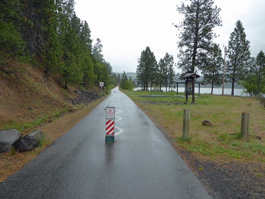
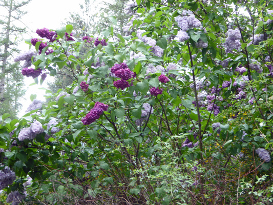
The road ends here so we turned back past a cluster of cabins with lilacs in bloom in front of them.
The road that goes up the hill to the campground continues on all the way up to Hwy 395. We skipped that part and went on back eastward to the other end of the park and Benewah Lake.

There’s a campground here plus a very small boat ramp. Benewah is one of the 5 lakes that now form Lake Coeur d’Alene.
By this point the temperature had dropped to 43 and while the sky to the west looked a bit lighter it was still pretty wet. So we just drove on back to the trailer for the rest of the afternoon. The sun did peek out a few times and the temperature made it up to about 52 in the late afternoon but it was just fine with us to huddle indoors with the heat on.
Walter checked his phone in the afternoon and noted that the time it was giving meant we were still in Pacific Time. Hmmmmm. We got out the map and sure enough, the panhandle of Idaho is in Pacific Time while the lower half of the state is in Mountain Time. For over 3 days we’d had our clocks in the wrong time zone and hadn’t run into any indication we were wrong. Since we were headed for Mountain Time later in the week we decided we wouldn’t change our clocks back and get a jump on adjusting to the time change since Lake Cascade really is in Mountain Time.
It was partly sunny when we awoke on Tuesday May 10th. We broke camp and stopped for a moment at the Visitors Center since the sun was out. There was a mound that looked to us like a beaver lodge but the ranger in the Visitors Center assured me it was a muskrat lodge—I didn’t know they built lodges so I learned something new.
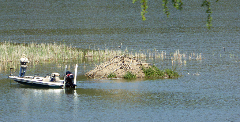
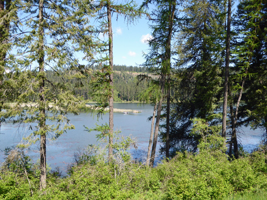
The lake much prettier in the sunshine!
We headed west back to Plummer and then south on Hwy 95 to Moscow ID to do our shopping. The University of Idaho is in Moscow (and just over the border from Pulman WA the home of Washington State) so it had a very nice Safeway (plus a Natural Foods store AND a Co-op). With the shopping done and lunch behind us we headed east over the rolling hills (and up and down a number of 9% grades) to Dworshak State Park on Dworshak Reservoir (in the middle of nowhere).
The campground was basically empty so we had our pick of spots and we got a nice side-pull-through spot with water and electricity for only $19.31 a night (senior non-resident rate which applies Monday through Thursday). We set up camp and then took a little drive to pay our fees and have a look at the lake.
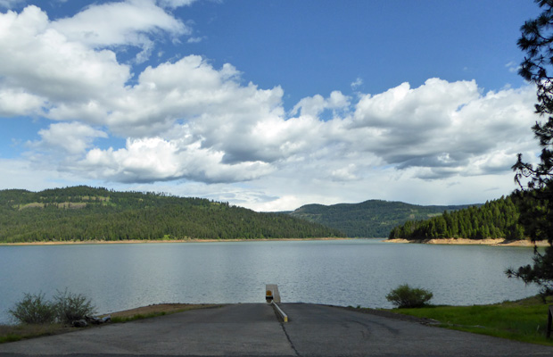
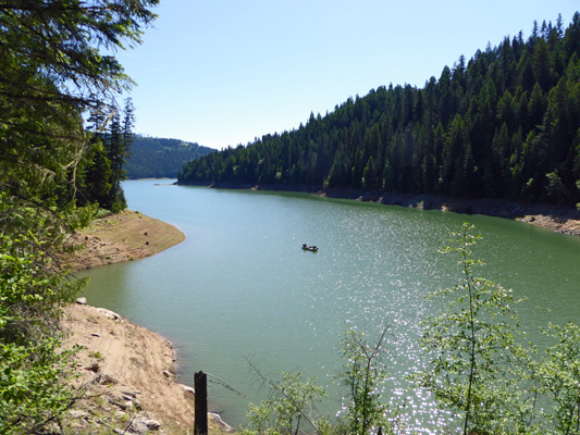
The view from the boat ramp was pretty good and we noticed that the lake was far from full. It turns out that it was drown down 65 feet last fall and it is only now refilling with snow melt. They’ll keep filling it until 4th of July when they start drawing it down again.
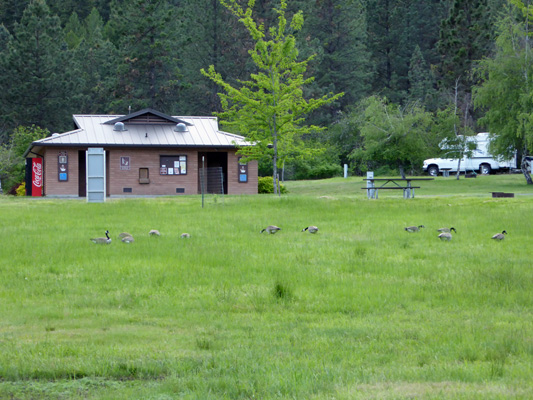
On our way back we stopped by and talked to the camp host (a retired veterinarian) and then went back to fix dinner. A flock of Canadian Geese came in the trim the lawn in the early evening.
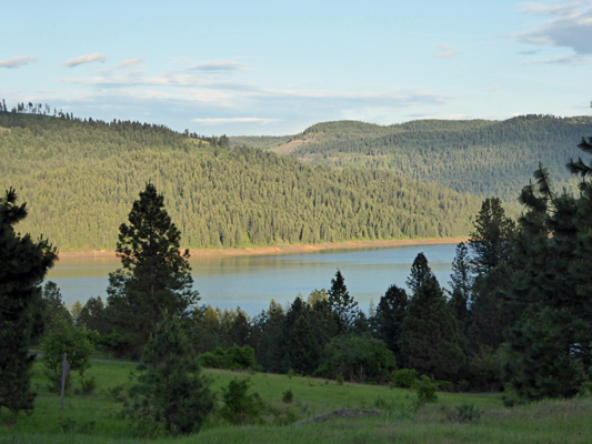
We went out for another drive after dinner. We needed to dump our trash and the only dumpster was way back at the entrance so we took the opportunity to drive out to the archery range which gives you a nice view of the lake from up on the hill.
We awoke to clear sunny skies on Wednesday May 11th. We puttered around the trailer in the morning--with no Verizon signal for the hot spot and not TV signal it made for a quiet stay at Dworshak State Park. Then late morning we set out for the boat ramp overflow parking lot and the trailhead to the Big Eddy Trail. This trail goes 10 miles (way more than we can tackle) but we figured we could hike as far as we wanted along the lake’s edge and then turn around when we were ready.
Quite simply this was a great hike. There were flowers, lake views, nice little bridges to cross and just enough up and down for a work out without wearing us out.
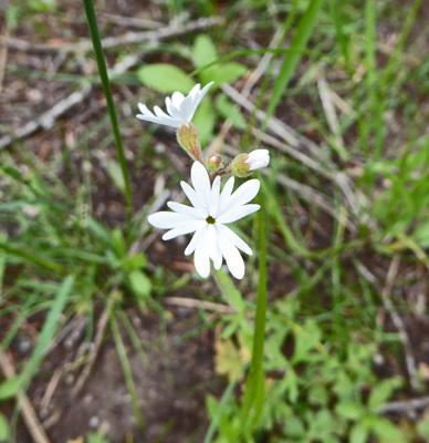
The forest floor was carpeted with these little flowers. They don’t appear in either of my flower books so we’ll just have to call them sweet little white flowers.

In the shade the Large-Flowered Triplet Lilies (Triteleia grandiflora) were just starting to open.
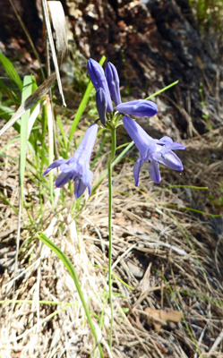
Out in the sun they were fully open.
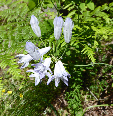
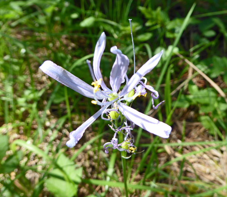
There were a few Common Camas (Camassia quamash) just finishing up.
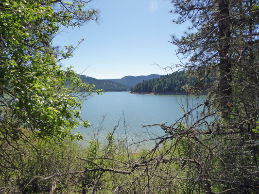
Now and then we’d get a clear view of the lake.
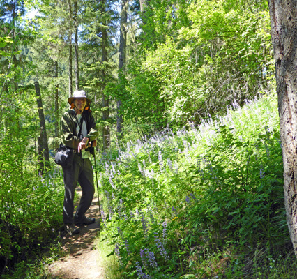
As we came around the bend in the trail, we started to see lupine (I don’t know which of the many lupines that grow in Idaho it is).
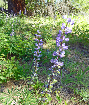
But here’s Walter with just a fraction of the masses of them along the trail.
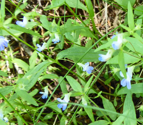
Scattered here and there were patches of Blue-eyed Mary (Collinsia parviflora) a tiny little flower we saw at Farragut too.
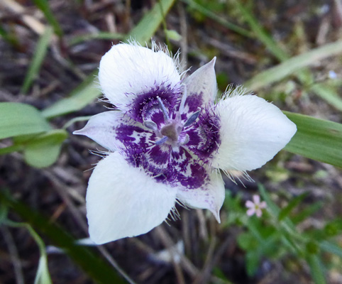
Around the bend we began to see these small (as in about 1/2 inch across) little white flowers with purple centers.
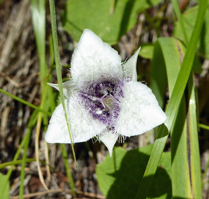
These are Elegant Mariposa Lilies (Calochortus elegans) and boy are they fancy!
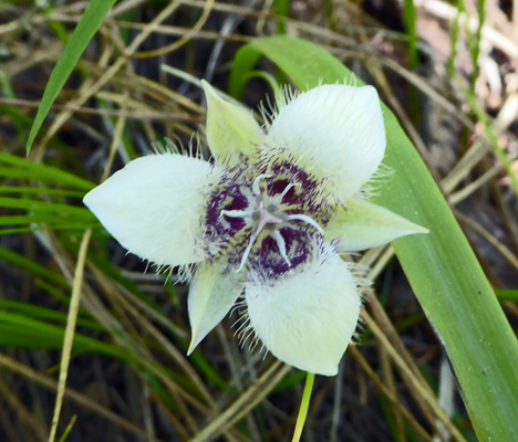
They were scattered all along the sunny south-facing portion of the trail.
The trail continued to go up and down as it followed the edge of the lake and we spied a pair of fisherman trolling slowly along this inlet.
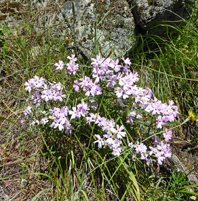
We saw a few clumps of Showy Phlox (Phlox speciosa).
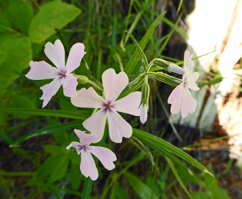
Idaho flower book said that this is the only phlox that grows in Idaho that had a notched petal like this so we can be assured that I actually have the right id for a change.
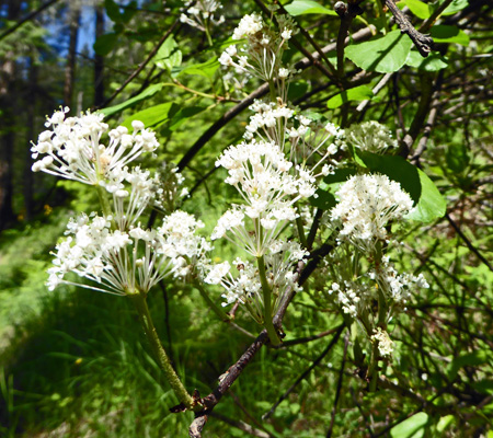
There was a Tobacco Bush (Ceanothus velutinus) in full bloom right next to the trail. They’re called Snowbush in Washington.
And then we came to a patch of those same unknown sweet flowers but this time they were pink.

From here we went down a series of steep switchbacks to a creek crossing. An Boy Scout had built a bridge over the creek for his Eagle Scout Project and had left this fun eagle sitting on one of the end posts.
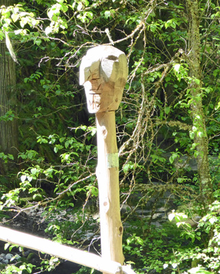
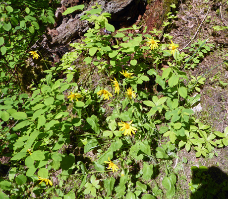
There was a bench next to the bridge and we sat and listened to the creek and enjoyed the patch of Heart-leaf Arnica (Arnica cordifolia) blooming nearby.
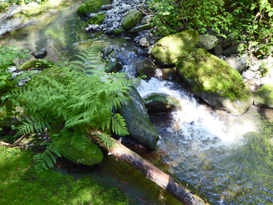
The creek goes through a series of little cascades as it makes it’s way down to the lake.
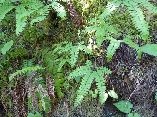
The trail then goes UP the hill again and the plants change dramatically along the moist north-facing hillside. Now we had tons of Maidenhair Ferns.
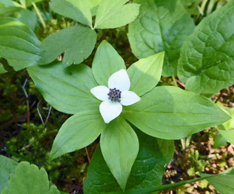
And patches of little bunchberries (Cornus canadensis).
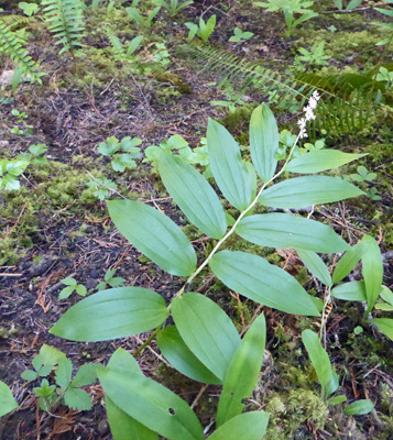
There were a few Western Trillium that had just finished blooming—pink and straggly at this point. And one or two Feathery False Solomon's Seal (Maianthemum racemosum).
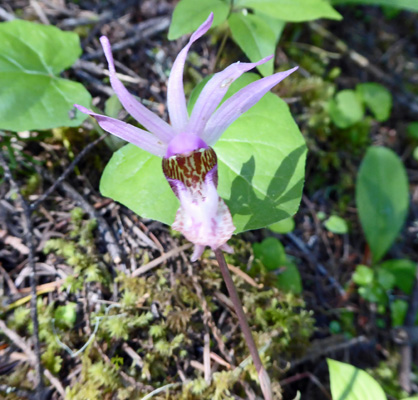
But best of all there were a scattering (more than 10) of Fairyslippers (Calypso bulbosa).
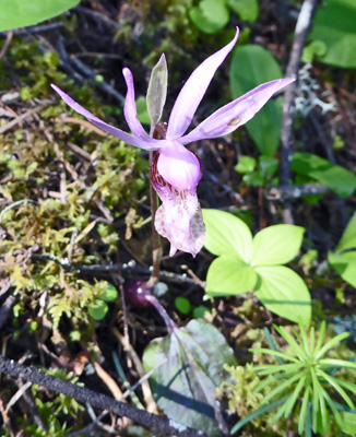
These little orchids are always such fun to find—even if they require you to get down on hands and knees to photograph them.
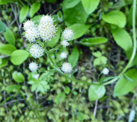
also found one little patch of Racemose pussytoes (Antennaria racemosa).
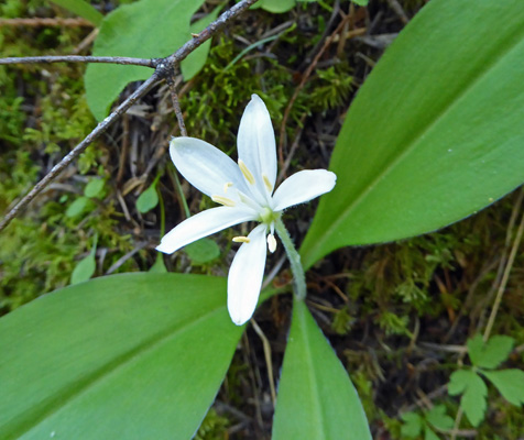
On the first part of the hike, I’d seen a lot of leaves for Queen’s Cup (Clintonia uniflora) but no flowers. Here in the moist shade there were lots of them in bloom.
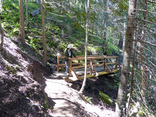
We kept crossing bridges and getting little glimpses of the lake until we turned one more corner and were greeted by a HUGE up. We’d been hiking for an hour and had said we were going to keep going until we hit the 8 mile marker but instead we looked at each other and agreed we really didn’t need to climb up that rise just to look at a little sign with an 8 on it. So we turned around and made our way back. Most of the bridges on this trail look like they were replaced in the last year or two. It must have been an interesting project to get the materials up from the lake to rebuild them.
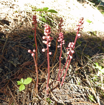
I spied what I think was a whole group of coralroot—the orchid we’d seen at Farragut—but it wasn’t blooming yet. It may be a patch of pine drops (a parasitic plant) but I don’t think so.
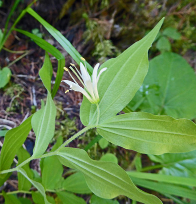
There was one lone Hooker's Fairybell (Disporum hookeri) in bloom.
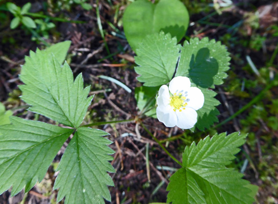
And there were lots of wild strawberries (Fragaria virginiana) in bloom (as there had been at Farragut too).
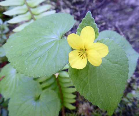
Down by the creek crossing I noticed a patch of Pioneer Violets (Viola glabella).
Back on the sunny side (after having made our way UP the steep switchbacks) we noticed a few of what I think were Field Milkvetch (Astralagus agrestis) in bloom.
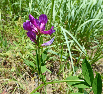
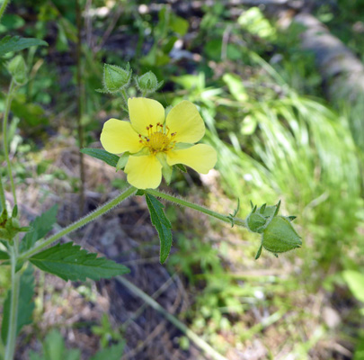
And one very tall potentilla of some sort.
I stopped and took one more photo of the Elegant Mariposa Lilies (Calochortus elegans)—who can resist something like this?
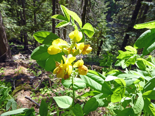
And then in the deep shade I saw this strange clump of tall plants. They have large tri-foliate leaves and flowers that are clearly in the pea family. The only thing that I could find in my books that comes even mildly close is Mountain Thermopsis (Thermopsis rhombifolia). (I saw many more of these on the road out the next day and they all looked like bright yellow lupine with nice tall spikes—so this one just was a bit malformed).
In any case this was a really wonderful hike—lots of new flowers to enjoy and ID, pleasant temperatures (it was in the low 60’s when we started and was 70 when we got back), and a lovely creek to cross along with the lake views.
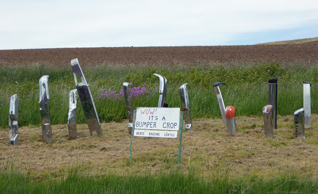
Thursday morning, May 12th we broke camp and headed back up the steep grades we’d come down 2 days before. Winding our way across the farmland, we stopped so I could photograph this “bumper crop” next to some fields.
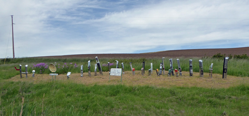
Clearly someone has a good sense of humor.
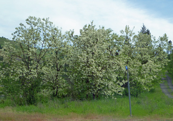
We drove on down the hills to Kendrick where the whole town was full of Locust trees in bloom. In fact they have a Locust Festival the last weekend in May—the flowers may be all gone by then this year.
We drove on to Lewiston and Hells Gate State Park where we’d planned to stay the weekend. Oops. They had one spot for us for Thursday night but had nothing at all for us for Friday or Saturday! The ranger at the desk in the Visitors Center was very helpful though. He got on the phone and called Winchester Lake State Park to see if they had openings. The whole park was still on First-come-first-served and they had water and electric sites open. Okay! So off we went another 50 miles or so to the little town of Winchester (named that because there were more Winchesters than any of gun in the room the day they went to name it) and a nice park on a 103-acre lake.
Not only did they have an opening—their campground was empty. So we had the pick of the litter as it were. We got their one and only pull through site with water and electricity. And because it was Thursday we got 50% off that night ($19.31 for out of state seniors) and then had to pay full out of state freight ($33.62 a night) for the other two nights. We set up camp in the lovely shaded campground and knew that the travel gods had done right by us. Hells Gate was RIGHT in Lewiston with a gravel pit across the street. It was going to be 90 degrees there on Friday! And it was going to be FULL of people. Whereas Winchester Lake is at a higher elevation and was only going to be in the 70’s and was literally out in the middle of nowhere—our favorite.
And then we discovered that the hot spot and our Verizon phone worked too. How very civilized!
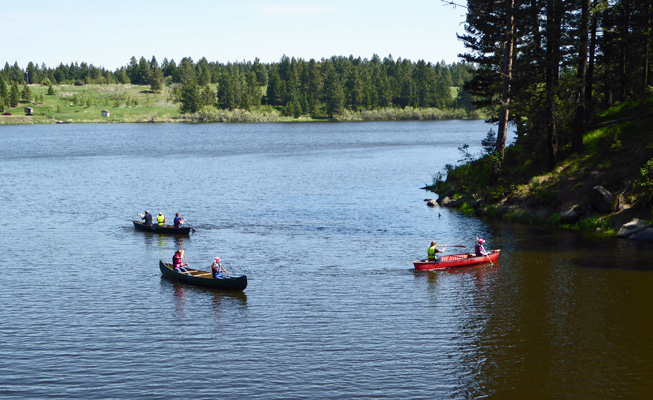
Friday May 13th, we drove out to the boat ramp day use area at Winchester State Park to go for a hike. And we found two school bus loads of middle school kids having an environmental learning day. There were 4 stations, one where they learned a bit about fishing (poles and bait provided), one where they learned about soil composition, one where the local county Quick Response Unit (I guess that’s what they call EMT’s here since they had an ambulance) taught water safety and they went out in canoes and one where a state park ranger talked to them about plants, played his banjo and took them on a little hike.
We watched the kids for a few minutes to let the hikers get ahead of us and then set out to hike the Lake Shore Trail—which surprise surprise follows the lake shore! Great plan but no, the ranger had stopped at the foot bridge to talk about yarrow so we stopped and talked to the parents who were watching and learned that this program had been going on here for over 40 years. Then we wandered past the herd of kids and out across the foot bridge to begin our hike. But first I had to stop and take of a photo of the kids in the canoes. There was a lot shouting involved but no one fell in and a good time seemed to be had by all.
I love that the schools have programs like this that get kids out into nature and experiencing things like this—one kid even caught a fish!
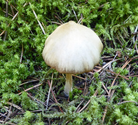
Just over the bridge we noticed a few mushrooms growing in the trail. In Western Washington we usually only see fungus in the fall but hey this is the wet season here so I guess mushrooms like it in the spring in Idaho because we saw many more as we went.
There were more Piper’s Anemones in bloom here but not nearly as many as at Farragut State Park where we’d seen them earlier in the week.
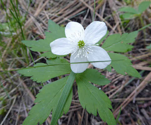
We also saw some Starry False Solomon’s Seal just coming into bloom too.
AAlong the way we got a nice view of most of the lake. The kids with the canoes were just around the point on the left and the lake does continue on a bit more over to the right and down an inlet.

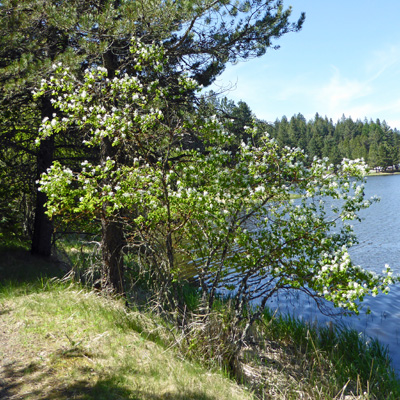
There were lots of Western Serviceberries (Amelanchier alnifolia) in bloom along the shore.
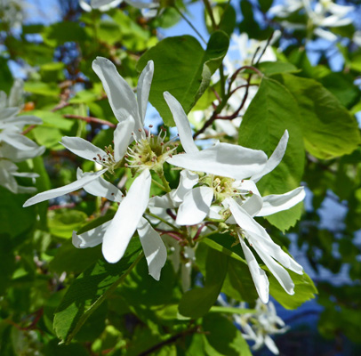
They are a nice shrub or small tree and some of them even have a nice form.
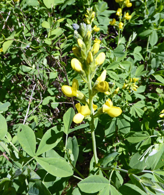
In the open areas along the trail we saw lots of Mountain Thermopsis (Thermopsis rhombifolia) just as we had along the road from Dworshak State Park. And all of them had nice tall spears of flowers just like lupine—only in yellow. So the one I saw on the trail at Dworshak was just malformed.
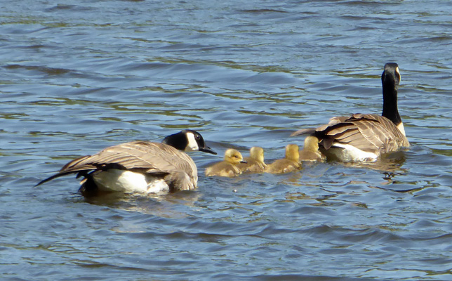
As we went around a bend we saw a number of Canada Geese in the water and then we spied a few goslings being herded along between their parents. Oh so sweet—but don’t you dare get out of line or the parent at the end will poke you!
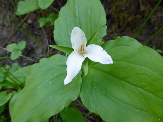
In the shade we found a few Western Trillium (Trillium ovatum)—some had turned pink but this one was still mostly white
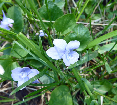
We walked until the trail turned up the eastern side of the lake and the trees gave way to grasslands. Then we turned back and headed up the Eco-Trail—a short loop trail off the main trail. It doesn’t get much traffic so the whole trail was grassy and there were lots of Hooked Violets (Viola adunca) blooming in the trail itself.
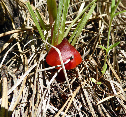
There were also some fun bright red fungus growing I among the dead grasses.
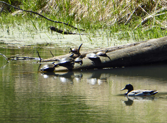
The trail rejoined the Lake Shore Trail and we came to a little side waterway where I spied 6 turtles sunning themselves on a log. The trail guide said that the turtles here were painted turtles but truthfully we weren’t close enough to tell.
We hiked on, and then took the Whitetail Trail—another longer loop off the main trail—up the hill. After we’d hiked a bit Walter found log to sit on for a moment and I noticed a Western Virgin's Bower (Clematis occidentalis) in bloom. I’ve seen the seed pods that these plants make but I’d never seen them in bloom before.
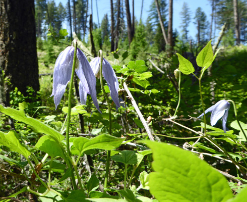
The Western Virgin's Bower is a vine that climbs over anything it can find but is kind enough not to smother anything in the process.
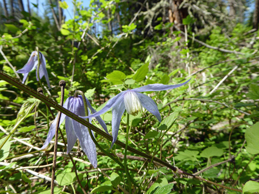
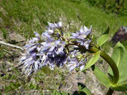
Along the road from Dworshak I’d seen these large blue-flowered plants along the road that I’d never seen before. Then along the lake I saw one that was just starting to show color. But up on the hill where there was more sun we found them in full bloom. They are Clustered Elkweed (Frasera fastigiata), a plant, according to my Idaho wildflower book, that only grows in about 4 counties at the base of the Idaho panhandle.
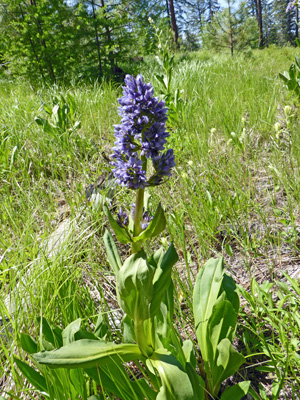
As the flower spikes open many of them tilt over but they are still pretty amazing looking.
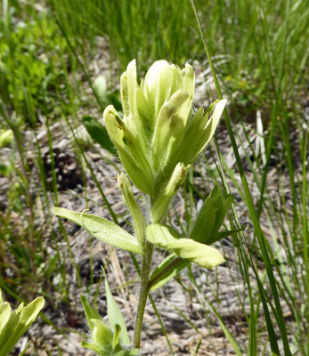
After taking this photo I turned around and discovered my first Indian Paintbrush of the season! It’s a relatively rare Lemon-yellow Indian Paintbrush (Castilleja flava).
We went on down the trail and I noticed this strange plant where all the flower heads were turned downward as if they were waited down by the weight. We turned the flower heads up to find this.
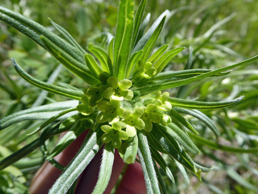
I’d never seen anything like it before. It turns out to be Columbia Puccoon (Lithospermum ruderale) which was about 3 feet tall with about 6 of these flower clusters drooping downward from its center. The next day I saw a few more of these with smaller flower clusters and they weren’t drooping.
The trail rejoined the Lake Shore Trail and we made our way back. As we crossed the bridge, we stopped to watch the next group of kids in the canoes and I turned and took a photo of the inlet the other way.

This was a nice hike and the two extra loops gave us a little bit of a workout. It was more civilized than the Big Eddy Trail at Dworshak but it was still enjoyable.
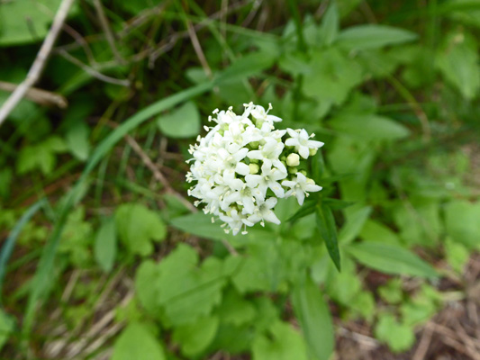
It was cloudy with a few sprinkles on Saturday May 14th. We meant for it to be mostly a down day with a few household chores. But by mid-afternoon, I was restless and set out for a walk. I ended up taking a ‘kid trail’ out past the next campground loop where I saw a small patch of Sharp-leaf Valerian (Valeriana acutiloba).
I walked on and found my way to the Discovery Interpretive Trail and decided, what the heck I might as well do it since it was only 3/4 of a mile long.
The trail has large informative signs distributed along the route that tell you about the trees, understory plants, birds and animals of the park. It makes a long loop up the hill and then back down again and it only took me about 1/2 an hour.
Along the way I spied a couple Smallflower woodlandstars (Lithopharagma parviflora).
And I stopped to read the geology sign next to these big boulders, figuring I’d be reading about Glacial Lake Missoula and the great floods again.
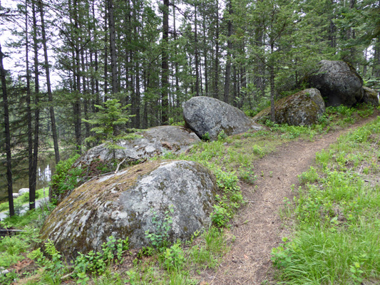
But no! These are Quartz diorite boulders, not erratics. They are the remains of old accreted islands that later rose up (as the Rockies were formed) and became the Craig Mountains. The huge lava flows that formed the basalt that is dominant in this area covered all but the tops of these mountains leaving these boulders sticking out of the basalt.
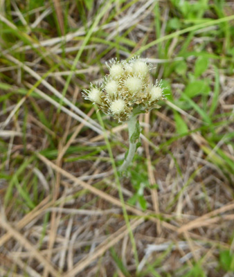
There was a huge patch of Pussytoes just past here. My flower book doesn’t distinguish between all the various species that look like this and so we’ll just have to say it’s one of the Antennaria species of the area.
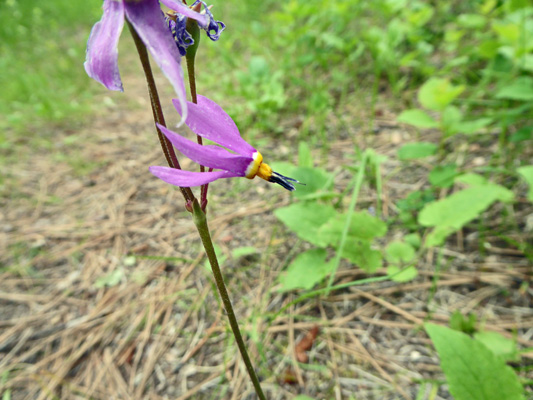
Crossing over the ridge of the hill, the signs said we were going into a damper area than the one we were in before. And as an indicator I spotted one lone Many-flowered Shooting Star (Dodecatheon pulchellum).
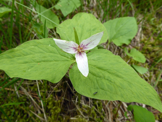
There were also some more Western Trillium (Trillium ovatum) and I just couldn’t resist this one because of the lovely way it was turning pink.
It looked like my old friend Harmony had gotten out with a paintbrush to tint it pink.
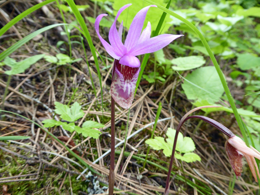
And last of all, I spied one more Fairyslipper (Calypso bulbosa). Think I saw more this past week than all the years before combined.
Such a deal. I got a nice walk and got to see some great flowers too and I didn’t get rained on either.
Sunday May 15th was our last traveling day for 2 months. We drove south on Hwy 95 to Hwy 55 through McCall to Donnelly, ID and then turned west to Huckleberry Campground in Lake Cascade State Park to start our 2-month stint as campground hosts there.
