We had lunch, Walter had a little nap and we headed into town to do laundry and have the oil changed in the truck. It’s great being only a mile out of town—it’s no big deal to run in and do an errand or two. With the grocery shopping (done on Monday) and the laundry complete we were heading into our two days off free of housekeeping chores. Whoo hoo!
It was sunny and gorgeous when we awoke on Wednesday August 3rd. We gave ourselves the morning off and lolled around home playing on the internet. Late morning, we made a picnic lunch and took off to drive north on Hwy 101 to explore Samuel Boardman State Park—an expanse of gorgeous coastline set aside for everyone’s pleasure.
While it starts just 5 miles north of Harris Beach, we decided we’d drive north 15 miles to the north end of Boardman and work our way south along the highway through a series of viewpoints and trailheads.
Our first stop was the Arch Rock Picnic Area and Viewpoint. Even the parking lot here has a great view.
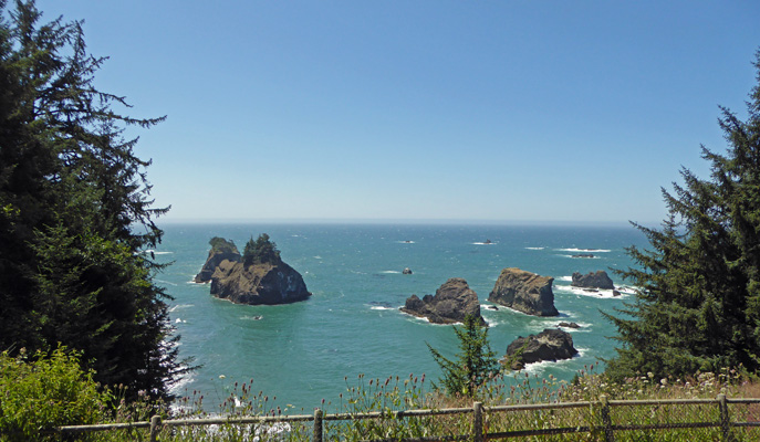
The trail takes you out to a great unobstructed view (if you go far enough) of Arch Rock.
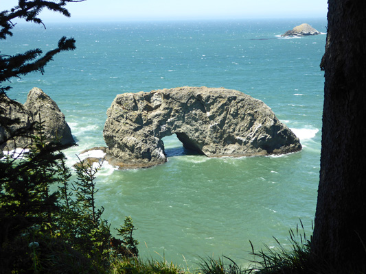
There was a great sign explaining how these arches start as sea caves, get eroded into arches and then natural bridges and finally the top will break though and you’ll have a sea stack on the left and a big rock on the right.
Out to the north you could see up the coast.
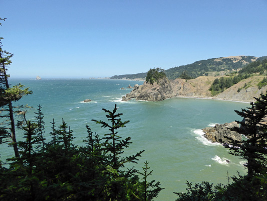
The Oregon Coast Trail runs all along here, going up and down following the contours of the coast.
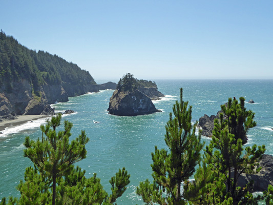
We followed the trail back to a fork and out to yet another viewpoint where you get a different angle on the view of Arch Rock.
And a great view southward down the coast.
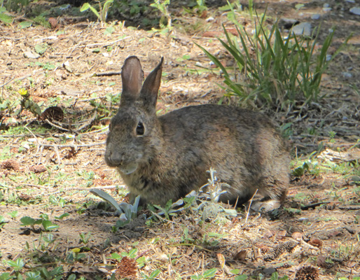
We stopped and talked with some folks who picked our brains about full timing and then headed back to the truck. In the picnic area we spotted one of the local rabbits. There are tons of them in the campground at Harris Beach too.
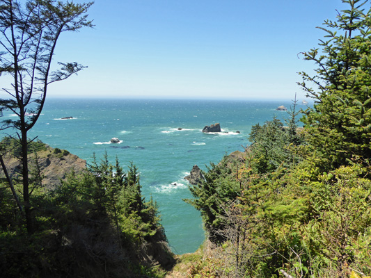
From Arch Rock we headed south to the Spruce Island Viewpoint. It’s really just a wide spot in the verge with a peekaboo view through the trees and bushes.
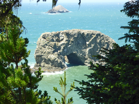
We missed the turn off to Thunder Rock Cove and the hike to Secret Beach but found the turn just .2 mile further south to Natural Bridges. The Coastal Trail runs through this parking area and our map seemed to indicate that the viewpoint was north of here between Natural Bridges and Thunder Rock turn outs so we headed north on the trail and took a spur UP the hill to a point where we couldn’t see anything more than water. We went back down again and then Walter opted to find a rock to sit on while I went DOWN the trail through several switchbacks and through the woods until I got a view of a natural bridge through the tree branches.
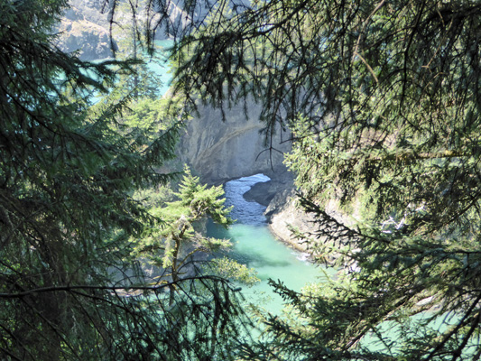
Here’s a close-up view that gives you a bit of a better sense of where the rocks and water are.
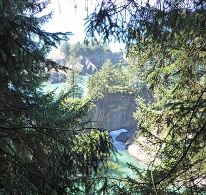
I’d come a ways because I could see the cars parked at Thunder Rock Cove so I turned back and made my way UP the trail to Walter and then back to the car. At this point we were both hungry so we didn’t take the trail southward to see what you could see that way. We learned later from some folks that there was a nice view just about 20 yards south—ah well, it’s not far so we can go back another day.
We drove south again and parked in the lot at the Thomas Creek Bridge in hopes of finding the trail that would lead us out to a view of the bridge which is the highest in Oregon—over 350 feet. We found the trail southward which didn’t do us any good since the bridge is to the north—we’d just driven over it. And we met folks coming back from the north who said it was a no go. We found a sign that seemed to indicate an entry to the trail northward but it was really steep and looked more like a game trail than the real thing. So we gave it up and drove south to the Indian Sands Viewpoint for a view up the coast.
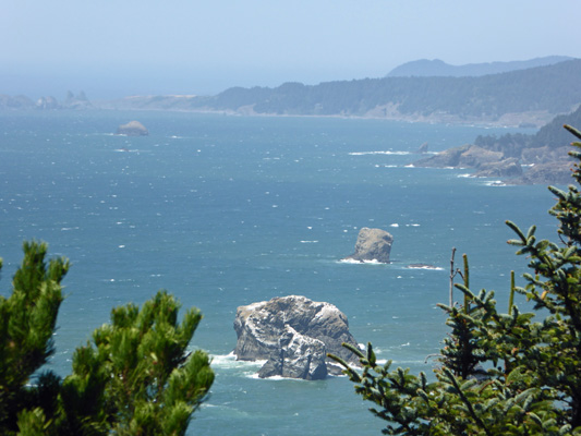
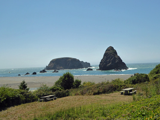
Then we drove south again to Whaleshead Picnic Area (down a gravel road that is marked as 4 wheel drive recommended) to a wonderful place for lunch. The view from the parking lot shows you both the beach and the picnic area.
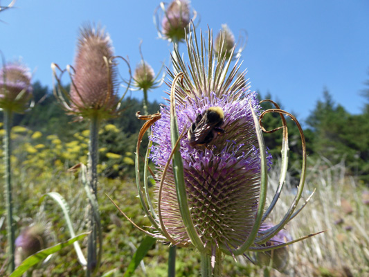
There was lots of Teasel in bloom and the bees were feasting on it.
And the walkway to the beach was lined with some sort of Lomatium that had dill-like leaves that smelled faintly of both dill and licorice but not strong enough to be either dill or fennel.

Here’s the view from our picnic table area with the Lomatium in the foreground.
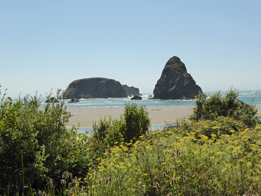
After lunch we headed down to the beach. There’s a creek crossing the beach and we balanced our way across some driftwood to get out onto the sandy beach. It was close to high tide and the waves were crashing up onto the rocks.
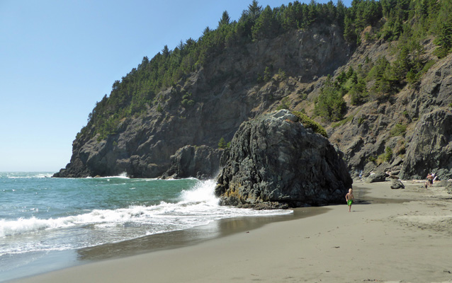
Families were clustered in the little sheltered area behind this big rock and the kids were having a blast. It was warm and there wasn’t any wind—a perfect day at the beach. Here’s the view from the back of the little cove.

I had a great time trying to get photos of the waves crashing up against the rocks.
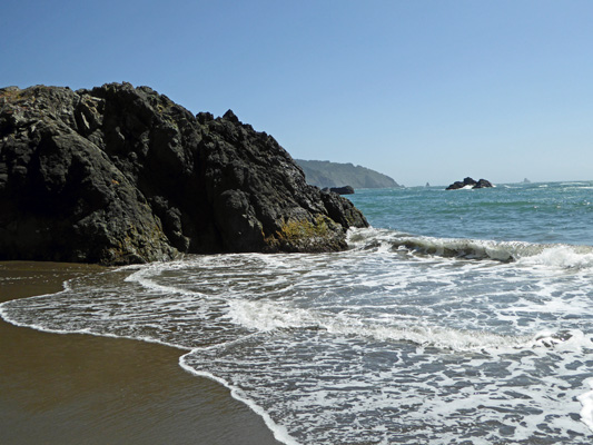
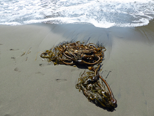
Having gone as far north as I could I turned around and headed south along the beach. There was a nice fresh clump of kelp that the tide had washed in.
I hiked on and the waves kept crashing up against the rocks.
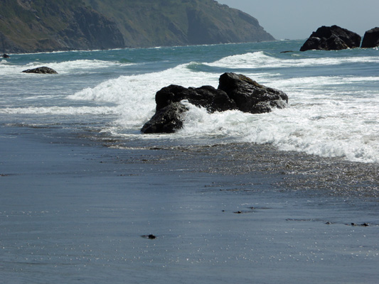
When I reached the point where I could see people hiking back up the steep trail that takes you to Whaleshead Viewpoint a 1/4 of a mile south I shot one last photo southward.
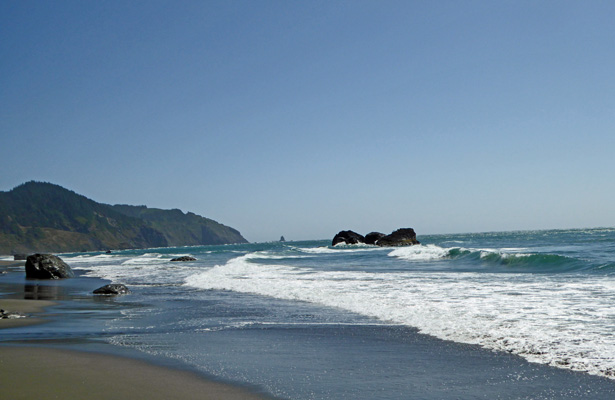
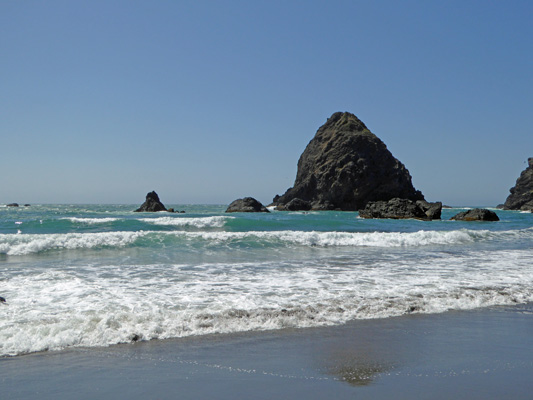
Then I turned around and got a nice shot of Whaleshead Rock itself—can you see that it looks like a whale breaching?
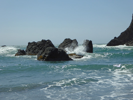
And just before we headed back to the truck I caught the waves crashing in amongst a collection of rocks in front of Whaleshead Rock.
By the time we’d hiked back across the sand, over the rocky ford and up the hill to the truck we were both tired. So we left the exploration of the 2nd half of Samuel Boardman State Park for another day and went home to relax.
On Thursday August 4th we awoke to clouds, fog and temps in the mid 50’s—a perfect day to huddle at home and rest. We lolled around all day and the sun never came out.
On Friday August 5th it was 51 degrees and foggy when we set out to clean sites. There were 78 sites to be cleaned but our partners next door were working too so we only had 38 sites to do—a walk in the park compared to the 50 we did our first day. We had time for a nice break at about 10:30 and the last of the folks managed to get out of their sites shortly after 1 so that we actually were done by 1:30. Clean up went quickly so we were back at the trailer by 1:45—getting better every day.
The sun burned the fog off at last about about 3:30 and we had blue skies by 4. The sun is always welcome but especially after it’s been cloudy.
Late in the afternoon, I couldn’t stand staying inside any longer and went down to take some photos by the beach. There’s a steep trail just opposite the entry to the campground. You get this view looking south through a gap in the bushes.
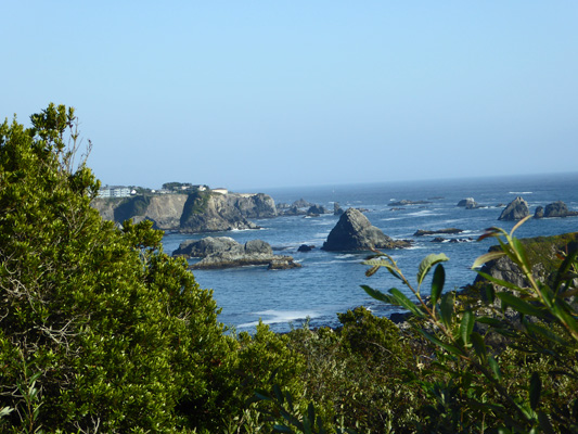
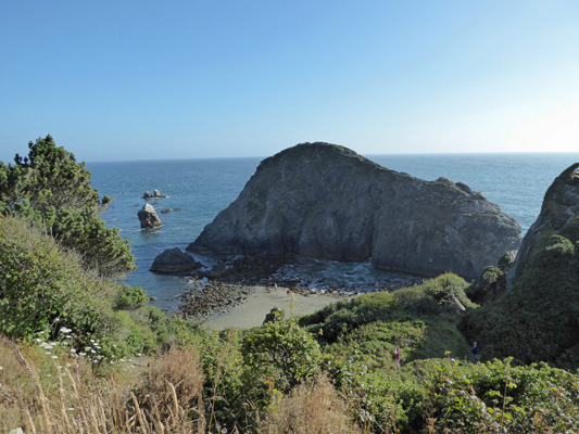
I thought if I followed the trail down a ways the view might get better. In actuality things just got a bit closer. Here’s a shot of one of the larger rocks along the beach.
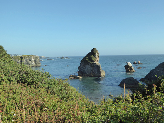
And when you follow the switchbacks down a ways more you get this view southward.
I met some nice folks from Arkansas and we talked a while before it was time for me to head back to make dinner.
Friday night we had a decent enough signal on the TV to watch the opening ceremonies of the Olympics—we both really enjoy watching the Olympics. On Saturday we had about 35 sites to clean but folks were in NO HURRY to leave. In fact, we had to sites that weren’t vacated until after 1:30. But since we didn’t have that many to do, we had a couple of breaks during the morning to sit and relax while we waited for folks to pack up and leave.
After dinner that evening we drove into town to pick up a couple of things at the store. On the way out we stopped at the view point that looks over the south portion of Harris Beach.
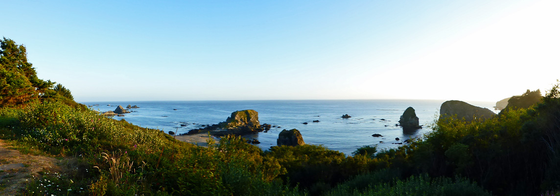
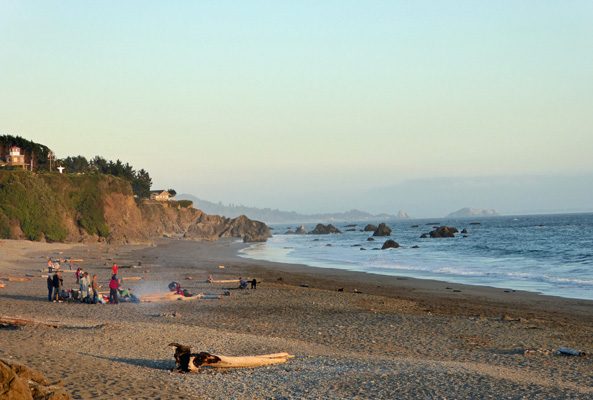
Then we took a detour down to the harbor area to check out the beach on the south side of the Chilcot River. There are several RV parks down this way in addition to a marina. One of RV parks shares its parking lot with the day use access to the beach. It’s not exactly private but it is right there next to the beach. We found a parking space with no problem and got out to check things out.
Here’s the view looking south.
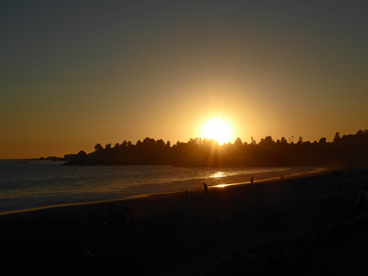
And here’s the sun getting ready to set behind the headland.
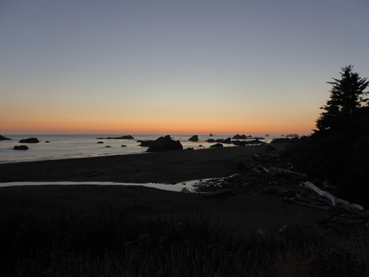
We drove on to the grocery store and then on the way home we stopped at the north end of the Harris Beach Day Use Area to watch the last of the pink in the sky.
Sunday it was clear from the get go but that meant that it was only 48 when we got up and had only warmed up to about 51 when we set out to clean sites. We’ve taken to wearing our light weight long johns to do site cleaning because it’s pretty cold roaring around in the a golf cart when it’s in the low 50s. We’ve found we’re both a lot less stiff when we get done if we stay warm while we’re working.
The ebb and flow of folks leaving their sites changes each day. On Sunday no one had left yet when we made our first drive though but all but 2 were gone (and we had their sites cleaned) before 1 pm. We went back to the trailer to wait the last two out and partners who were doing the other 2 loops stopped by to offer to do our last 2 sites since they were waiting for the folks in our last site to leave so that someone in their last site could move over to ours. This kind of shuffle happens a lot. Because this place is full every night people who want to stay several days may move once or twice just to have a site at all.
So because of the kindness of our neighbors we were done before 1:30. Whoo Hoo.
By this point, we were beginning to think we had this site cleaning thing down. And then Monday came. Once again we were on our own to clean all the sites being vacated in the campground that day. And there were just shy of 70 of them (that’s nearly 1/2 the campground)! We got them all done by about 1:30 but we didn’t get a break at all. People were leaving faster than we could clean the sites so there was no time when we didn’t have anything to do. There were lots of fires that folks left smoldering (we have to douse them before we can clean out the fire pits) and that adds to the time it takes to clean a site. It’s really quite amazing to pour water and what you think are just a few warm coals and have the whole thing explode in steam and have the water boil away in just minutes. I’ve learned a whole lot about putting fires out in just a week! Remember, Smokey the Bear says to make sure your fire is dead out before you leave it.
We’re enjoying Harris Beach. The campground is pretty quiet and the sites have enough separation that we don’t feel as if we are overrun with kids and bikes and critters. The coastline is gorgeous and town is close. All in all, it looks like it’s going to be a great place to spend the month of August.
