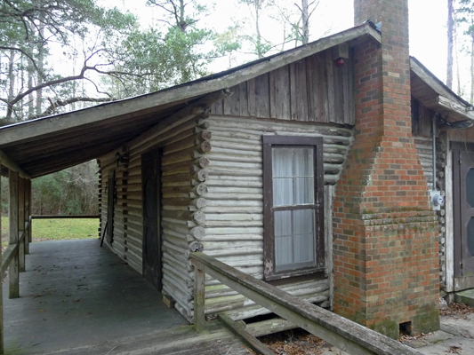
The trail starts just past this old log cabin that clearly has been used for administrative purposes over the years. The Big Thicket became the first National Preserve back in 1974 and the current headquarters are in a nice new spiffy building over by the Visitors Center. There were no signs about this building so I guess it doesn’t have any great historic significance.
There’s a lot of nifty history to the Big Thicket. Nobody much lived in the 3.5 million acre swamp/forest until the mid-1800’s. Native Americans from Alabama and further east came to the Big Thicket to avoid conflict with the white settlers and they still have a reservation north of here. But the original native peoples hunted here but never lived in the thicket. During the Civil War, folks who didn’t want to fight in the war, retreated into the thicket to live since no one ever went there. After the Civil War logging of the Thicket commenced and most of it was destroyed. The discovery of oil in the Beaumont area at the turn of the century didn’t help matters much either.
The Thicket is very rich in biodiversity and is a United Nations UNESCO International Biosphere Reserve along with being a National Preserve. The Preserve protects 15 remnant areas of the Thicket (108,208 acres total) that are scattered over this section of East Texas—pretty much all that remains of the thicket. This hike is in the south end of the Turkey Creek Unit. Most of the units have some waterway through them—including much of Village Creek which runs through the State Park where we were staying.
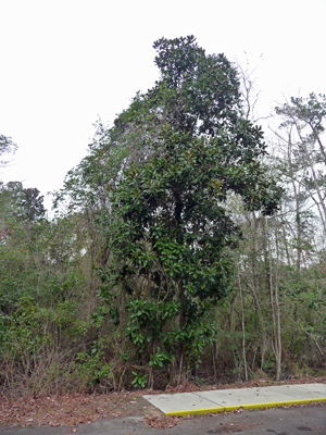
This is the first part of Texas we’ve visited where there are real honest to goodness tall trees. There a native Evergreen Magnolias which are way bigger than I have ever seen them in anyone’s landscape either in California where I grew up or in Washington where folks in town managed to nurse them through the cold winters.
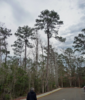
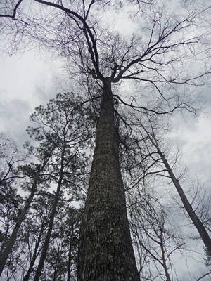
And there are Loblolly Pines which reach for the sky.
Once on the trail, it’s much harder to see the trees for the thick forest. It’s not mistakenly called a thicket—it’s way dense and mostly the trees grow straight up right next to each other.
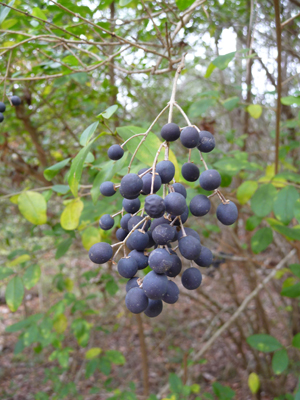
We headed out the trail and I spied these odd black berries hanging in long racemes from a tree. They turn out to be Black Cherries (Prunus serotina).
This has clearly been a trail for some time. The trail map has numbers marked all along the way but there are no words to go with the numbers (some of which are missing). But they have now gone through the trail and put in nice signs about the trees and some of the shrubs along the way. First up: The Loblolly Pine. And this is what they look like, deep in the thicket.
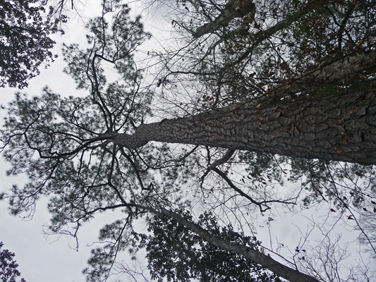
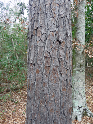
They have very distinctive deeply checked bark so they were easy to spot along the way.
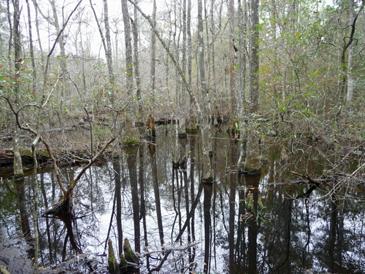
There’s a lot of standing water here and they distinguish between various types based upon how much the water is moving and how acidic it is. I’m not sure which kind this is but it sure looks like swamp to me. And the trees are Water Tupelo, I think.
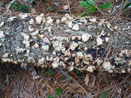
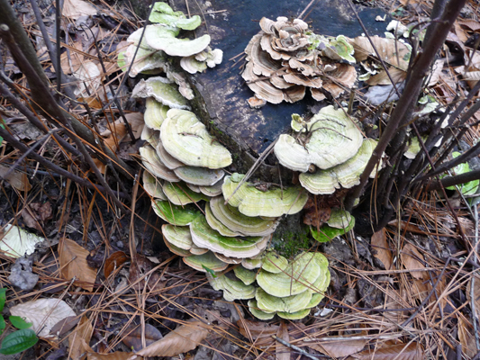
This is a very fungus friendly environment.
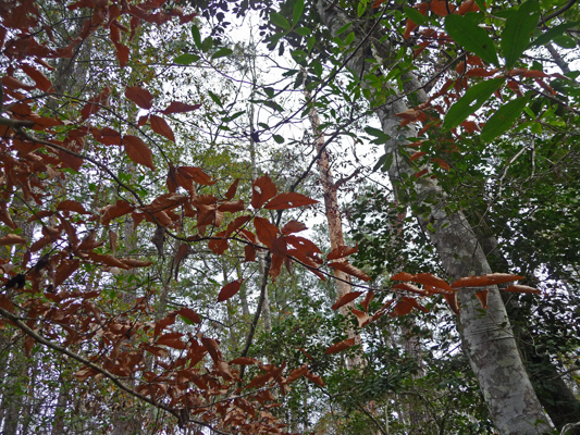
I was amazed to see American Beeches in the forest here. They were still holding their lovely copper leaves.
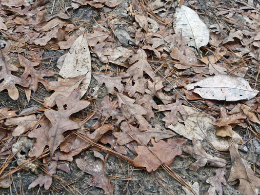
There are lots of oaks here. The majority are white oaks but there are also southern red oaks. The trail was littered with oak leaves (with a few magnolia leaves thrown in) but I didn’t see a single acorn which just means the critters are doing a good job of cleaning them up.
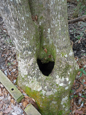
On our way across one of the many boardwalks I spied this cavity at the base of three intertwined trees—shaped like a heart.
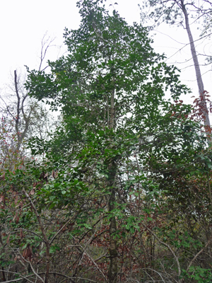
On the other end of that walkway there was a Red Bay Persea—something I’d never seen before. There were an amazing number of broadleaf evergreens here.
And did I mention it was a fungus friendly zone?
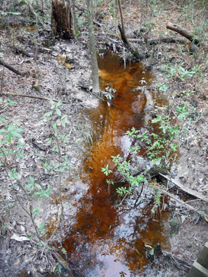
This water was full of tannins and moving over a white sandy bottom. I think this might be what they call a baygall but I’m not sure.
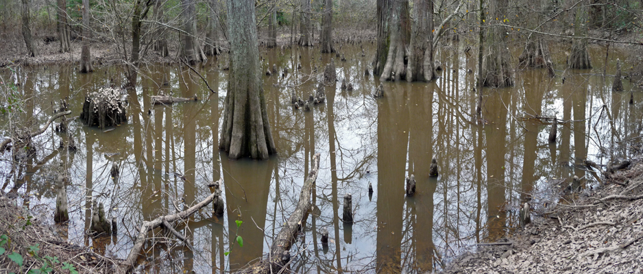
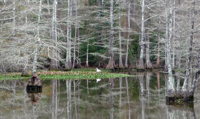
This however is most definitely a Cypress Slough full of Bald Cypress.
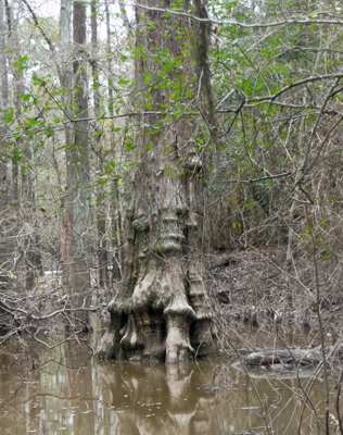
And this guy has what are called knees around his base.
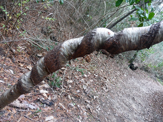
Rattan vine loops its way through the forest. It can really do a number on a young tree.
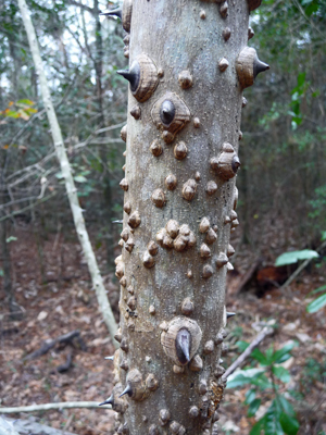
We only saw one of these amazing Toothache Trees. They’re called that because if you chew the leaves it has a pain deadening effect in your mouth. I was just impressed with the thorns on the trunk when I saw them.
The water tupelos can get pretty tall...
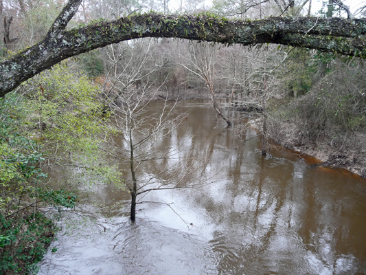
The trail comes close to Village Creek (which continues south through other protected lands all the way to Village Creek State Park). We went out onto the bridge across the creek so I could photograph the creek.
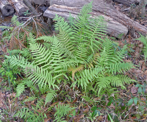
As we completed the loop I saw some ferns that reminded me of sword ferns from the Pacific NW. These are actually Christmas Ferns.
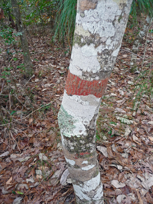
In this same section of the trail I kept seeing these trees with this amazing multicolored bark. I took several pictures and only discovered when we got home that this amazing coloration is due to lichens.
When we finished the hike (which while it wasn’t totally flat probably only had an elevation change of about 10 or 20 feet total) we went on back to the Visitors Center which was now open. We read the displays and watched the movie—which was better than average. By the time we’d finished talking to the ranger on duty about possible hikes for Sunday and Monday, it had started to rain in earnest and it continued to do so for much of the rest of the day and so the roller coaster ride continues.
On Sunday January 18th, it was sunny and lovely. We took a nice long walk in Village Creek State Park without even having to get in the truck. We headed down the hill from the campground to Village Slough.
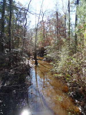
And followed the Village Slough Trail through the part of the Big Thicket that is preserved by the park.
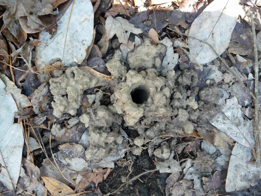
This section wasn’t quite a dense as the Kirby Nature Trail area but it was still pretty thick. Going along we noticed this odd pile of dabbled mud with a hole in it. I have no idea who made it or what it is. But we’ve seen several more since—some with holes and some not. Well what do you know? A friend has informed me this is a crawdad hole! They come out at night to feed. What fun.
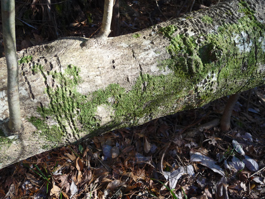
There was none of that lovely red lichen growing on the tree trunks here but there was good old green moss growing on a downed log.
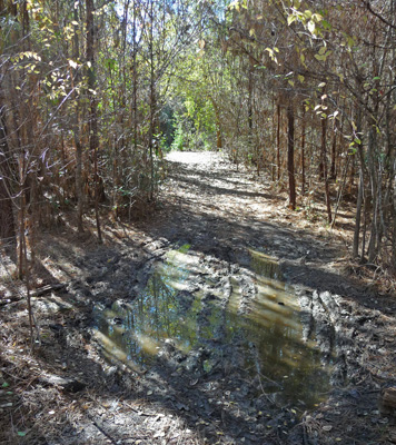
And the trail was pretty muddy in places too. The good news is that in most cases there was a way to get around the mud since the thicket wasn’t so thick. But it was still mud you really wanted to avoid.
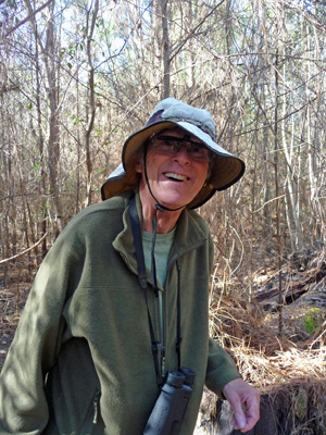
Some spots took a little more log balancing than others. I caught Walter just as he came out of one of the balancing sections and just called “Smile” at him. And he did!
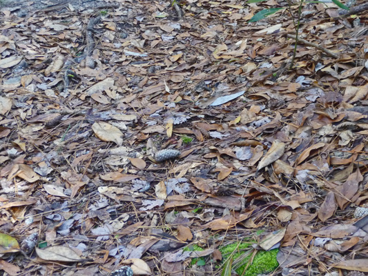
There were lots of pine needles on the trail here—considerably more than we’d seen the day before.
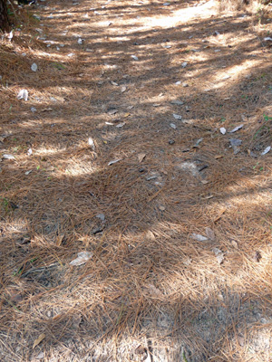
And then just a couple of feet further on, they’d be gone and the trail would be covered with beech or oak or bay leaves.
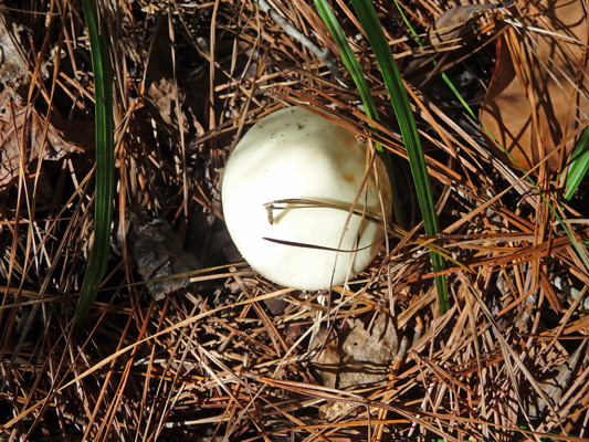
Off in the duff we spied one lone mushroom.
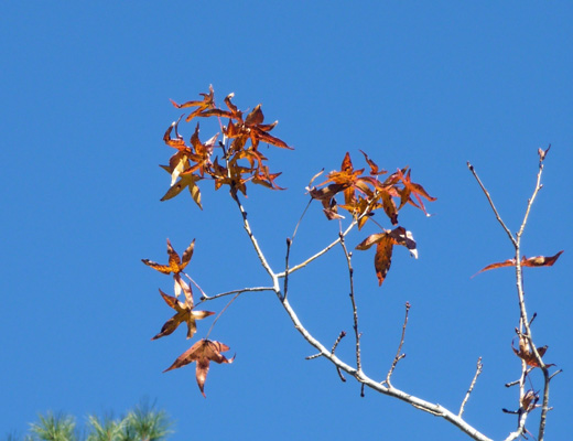
We got back to the trailer in time to watch the second half of the Seahawks-Panthers game which was impressive even if the Seahawks didn’t win. As we came back to the trailer I realized that we had a very tall (maybe 40 feet) Liquidambar tree just behind us and it still had some leaves on it. These trees always loose their leaves late (November in Southern California) but January is pretty amazing to still have fall color.
Monday January 18th dawned sunny and cool (it had been down to 33 in the night) so it took a while to warm up. We took our time around the house and then set off north again past the Big Thicket Visitors Center to the Sundew Trail in hopes of seeing a few insectivorous plants. Sundews are small plants the hug the ground and are covered with little hairs with nectar on them. The nectar traps insects and they get digested by the plant and then the nutrients absorbed. Fun huh?
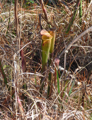
Sundews share a niche here with Pitcher Plants and if you’re going to see sundews they’ll be growing at the base of the Pitcher Plants. We took the trail out onto the boardwalk and sure enough there were a few Pitcher Plants that hadn’t gone dormant for the winter yet.
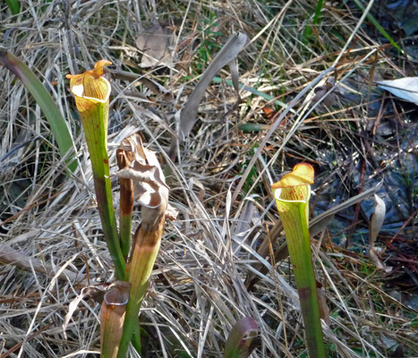
They are insectivores too. They have nectar up on the top of the pitcher and the bugs are attracted by the nectar and then fall down the pitcher and can’t get back out. There are digestive juices at the bottom of the pitcher and they get digested and then the nutrients get absorbed by the plant. Isn’t nature amazing?
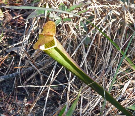
We looked carefully all through this section of the bog and didn’t find any sundews. But the Pitcher Plants were pretty spiffy.
We did the inner loop of the trail (through the bog) and then looped around and did the outer loop which goes through an area called a savannah. Both the bog and the savannah are very sandy and have an underlying impervious layer that makes it drain slowly and then in dry periods makes it hard for plants to get to the water table below. So all the plants here have to be able to tolerate very wet conditions and very dry conditions. It’s also low fertility soil so plants like the sundews and the pitcher plants do well because they have bugs to supplement soil nutrients.
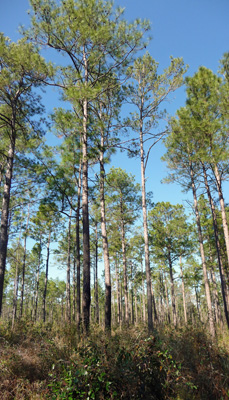
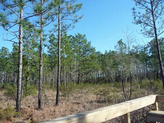
The trees here were mostly Long Leaved Pines. They grow much farther apart than the Loblolly Pines we saw in the denser sections of the thicket.
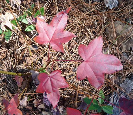
We saw a little more fall color too. There were liquidambar seedlings in deep maroon.
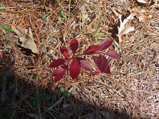
And these small understory plants in maroon too.
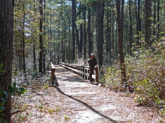
The outer loop was mostly a dirt trail with an occasional boardwalk to cross wet sections.
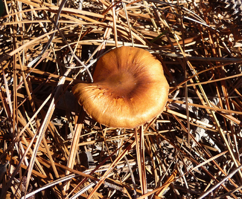
Here we saw a couple of these golden mushrooms growing in the pine needles.
Long Leaved Pines have the longest needles of any of the southern pines—10-15 inches. And they have LOTS of them so there was a very thick layer of needles all over the forest floor and the trail itself—much more so than in the loblolly pine forest.
It was warm enough to eat outside so we had our picnic lunch in the picnic area at the trailhead and then drove over to the Pitcher Plant Trail to see if there were any more pitcher plants for us to see.
This is another area full of Long Leaved Pines. It’s very open with very little understory.
Walter picked up couple of pinecones to show you how big they are.
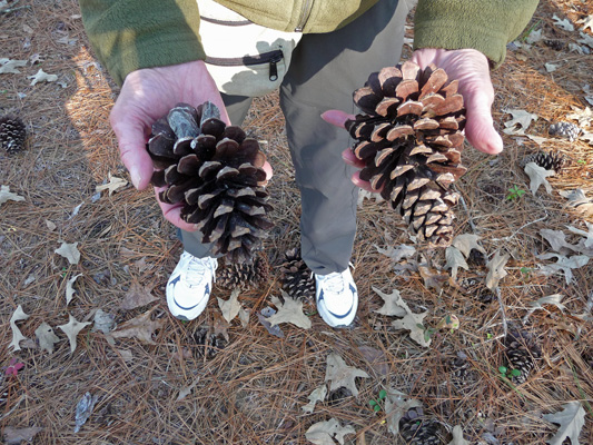
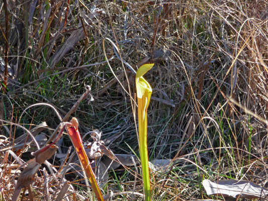
The boggy area here is out in the sun (where the bog on the Sundew trail was in the deep shade) and most of the pitcher plants here had gone dormant. There were clearly hundreds of them and I’m sure they put on a great show in the spring and summer.
I did manage to get a picture of one of the 2 or 3 that we saw that were still alive and well.
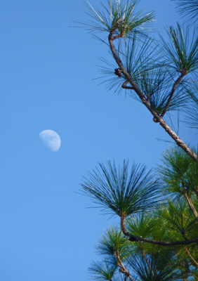
We decided to not do the whole loop through the savannah here and turned around to go back through the bog to the car. And I spied the moon hanging in amongst the pines.
On Tuesday January 19th, we packed up and moved a big 60 miles north to Martin Dies, Jr. State Park on B. A. Steinhagen Reservoir on the north end of the Big Thicket. The park was basically empty when we arrived and we drove the loop of the 30 amp sites (they have a large number of 50 amp sites that cost more and we only need 30 amps so we stuck with them) and got a site with a lovely view of Gum Slough for just $16 a night (with our Texas State Parks pass paying our $4 per person day use fee).
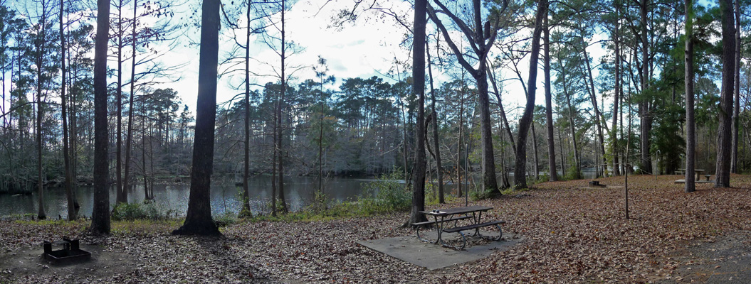
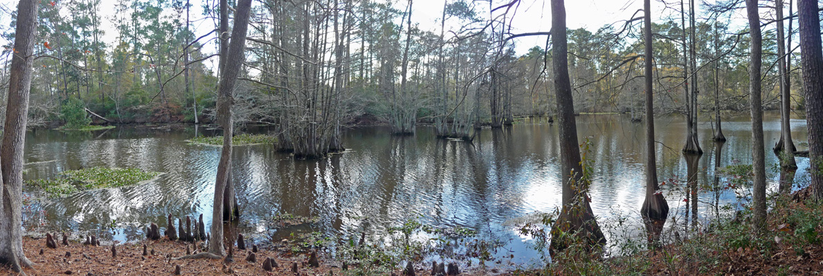
It was sunny and about 66 degrees when we set up camp. With all the leaves on the ground, every time a squirrel loped by it sounded like there was a herd of dogs making their way through. I went down to the edge of Gum Slough to get a panorama shot of the view.
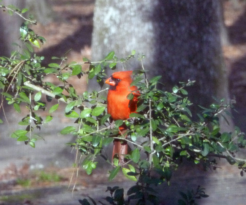
Late in the afternoon as the clouds came in and the wind picked up, a male Cardinal came and sat on a branch outside our windows. I managed to catch him during a sun break and the camera actually focused on him rather than on the window screen.
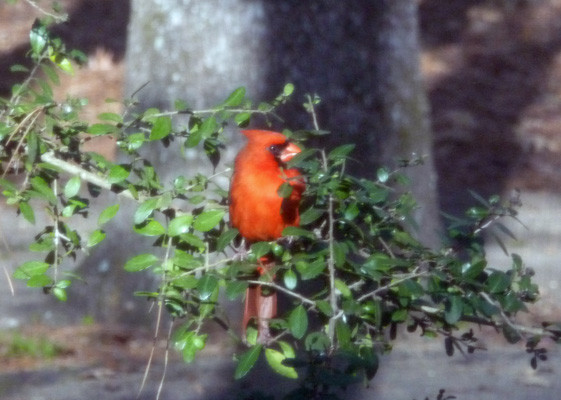
They are such lovely birds.
There was no free park WiFi here but our hot spot worked so all was good. We certainly weren’t competing with anyone for the cell tower here! Our phones had a signal but we had so few bars they didn’t work—nothing new there—though Walter did managed to pick up a text message by standing outside but the one call he tried to make got dropped mid-conversation and he never got his signal back.
As the afternoon wore on and more clouds came in we began to get an interesting show off in the west and reflected in the slough.
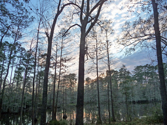
Just before sunset we got a bit more color before the clouds closed in.
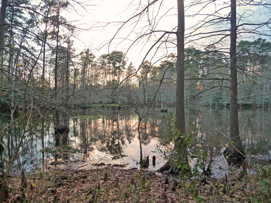
Surprisingly, we awoke on Wednesday January 20th to clear skies. The few clouds that had come in the evening before had kept the temperatures up in the 50’s in the night (far better than the 30’s we’d had the couple of nights before) and then had blown through.
We decided to stay close to home that day and simply drove across the road to the Walnut Ridge unit of the park to hike the Island and Wildlife Trails there.
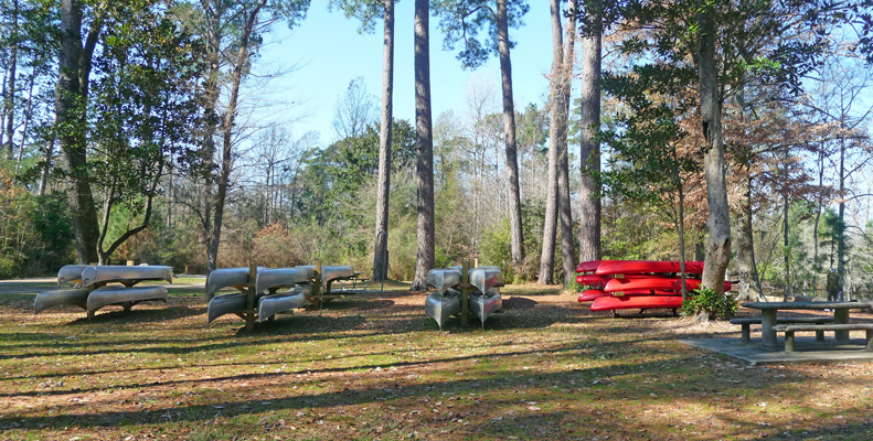
They rent canoes and kayaks here (as they do over in the half of the park where we were camping) and don’t even tie them down. The canoes as so heavy I can’t imagine anyone trying to run off with them but those nice red sit-upon kayaks aren’t very heavy...
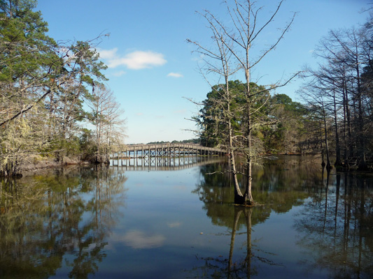
We headed out the trail and across a bridge over the Walnut Slough and got a lovely view of the viewing pier over on the Wildlife Trail.
We headed out the Island Trail (a nice little loop around a small island) first. That gave us views across the lake where we could see Great Egrets here and there along the far shore.
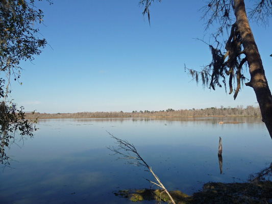
There are boat ramps here and you can fish but we didn’t see a single boat out along this section of the lake. The temps were in the mid 60’s and it was very pleasant but hey, it was mid-week and this place is pretty much in the middle of nowhere.
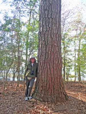
The trail winds along the shore of the island and there were large magnolias and loblolly pines growing here. I got Walter to stop and pose next to this big old loblolly—one of the biggest we’ve seen. I do love the bark on these trees.
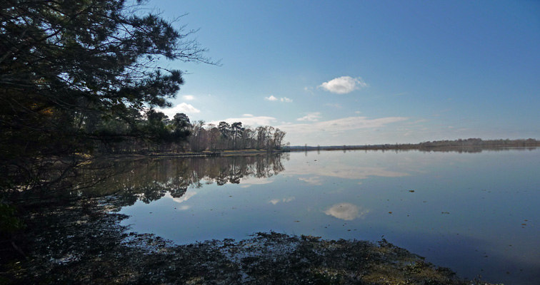
When we came around the curve of the lake you could see the bridge (that is under repair) and a nice curve in the shoreline. It was really still which made for nice reflections.
On the way back along the Walnut Slough we saw a couple of turtles but they plopped into the water and swam away before I could get near enough through the thicket to catch a photo of them.
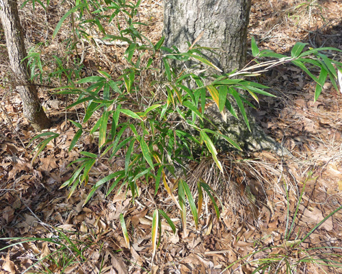
We walked over the nice viewing pier on the Wildlife Trail and then the trail took a long loop through the woods just far enough in so you couldn’t see the lake. We saw several small patches of a native bamboo that’s called River Cane (Arundinaria gigantea). Most of what we saw was about 5 feet tall but it can get to be 30 feet tall in some places.
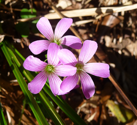
We also spied some Drummond’s Wood-Sorrel (Oxalis drummondii) in bloom along the side of the trail—a lovely purple.
The trail looped back through the woods (past lots of no hunting signs because just past here where the park stops there is a public hunting area) and eventually met the Walnut Slough again.
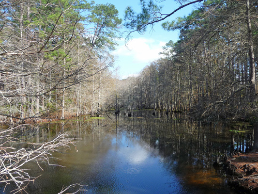
As we came back over the last bridge I spied 5 turtles sunning on a log.
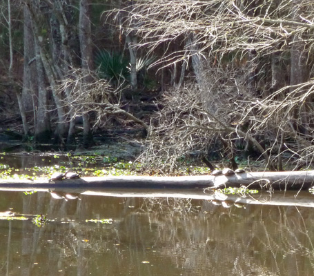
One pair on one end.
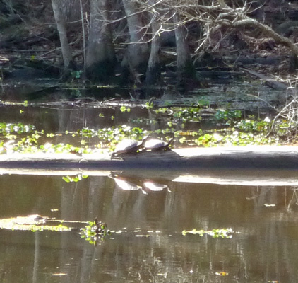
And the other three on the other.
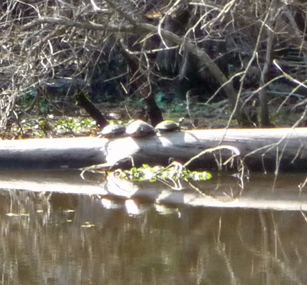
According to the signs these are Red-eared sliders. We certainly didn’t get close enough to see their ears!
When we were finished with our walk we took a drive through the Walnut Ridge Unit. They have odd little shelters that are like screened porches with the back half covered in wood louvers. Some of them were real cabins with air conditioning but they all had power (and water I guess ). There’s also a large 50 amp RV camping section and some of the sites have water views. When we checked in, we asked if it would get busy here for the weekend and they said no. They really don’t get busy until March.
We went back to the trailer for lunch and we spied an egret on the grass just across the slough.
Thursday January 21st, we awoke to light rain (and 68 degrees) that only got worse as the morning wore on. We decided it was a perfect day to do grocery shopping and laundry and set out to go east into the town of Jasper. I’d found a couple of addresses for washeterias (coin-op laundry) on-line and we put the first address into the GPS and ended up in a parking lot with nothing that looked like a laundry. We tried two more places and still no joy. So we bagged it (we can go two weeks without doing laundry) and went to the Walmart to grocery shop. By this point, we had a thunder storm going with lots of thunder and lightening. By the time we got to the Walmart, it was pouring so hard, we decided we’d just sit in the truck until it let up. We could see people huddled in the entry waiting for it to stop too. It didn’t take long before it let up a little and we hustled inside. You could hear the thunder booming as we shopped and sure enough, it was pouring buckets by the time we were done and we got to stand in the entry area with a crowd of folks waiting for it to let up.
The weatherman said we got over an inch of rain in those squalls that went through in the afternoon. There were rivers of water running out of the parking lot, that’s for sure. The rain stopped by early evening and the temperature which had been dropping slowly all afternoon then sunk like a stone—down to 40 in the night. It was still cloudy in the morning (with a very occasional sun break) and only 47 when we started out to hike the 2 mile Slough Trail in our section of the park.
The trail wanders through the woods a ways to a view of the lake. It was still pretty cloudy and there was enough of a breeze to make a steady chop on the lake.
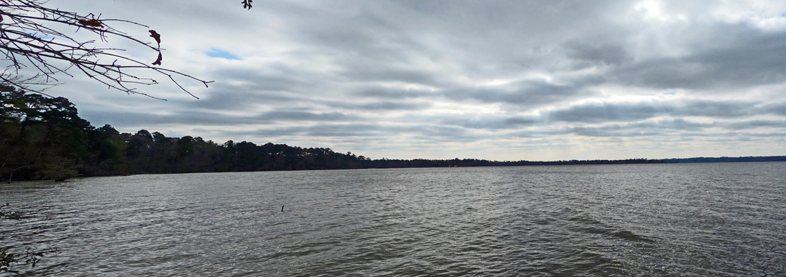
There’s a Corps of Engineers campground on the lake and from the looks of things it’s just down the lake from here—we just don’t know how you get there.
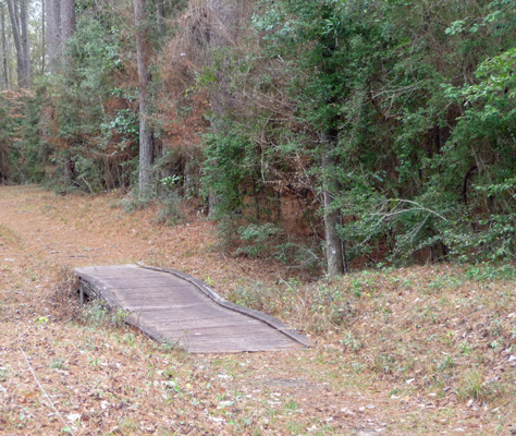
The trail has 16 bridges—most of them not real big.
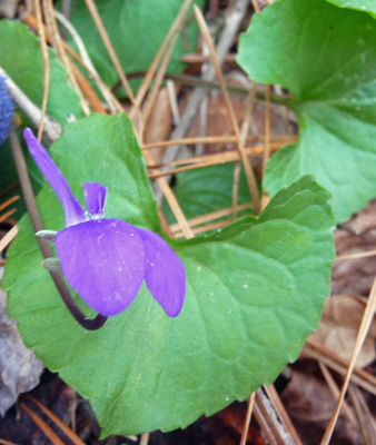
We spied one lone common violet in bloom next to the trail in this section.
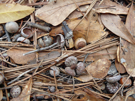
We wound on through the forest and spied some acorns on the ground for the first time. There were tons of oaks here but these were the first acorns we’d seen.
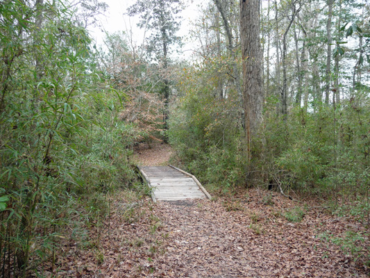
This little bridge was actually more than a little boardwalk—it arched over the slough and back down again—through a stand of river cane.
In time we came to a section where you could see little ribbons of the slough winding through the trees.
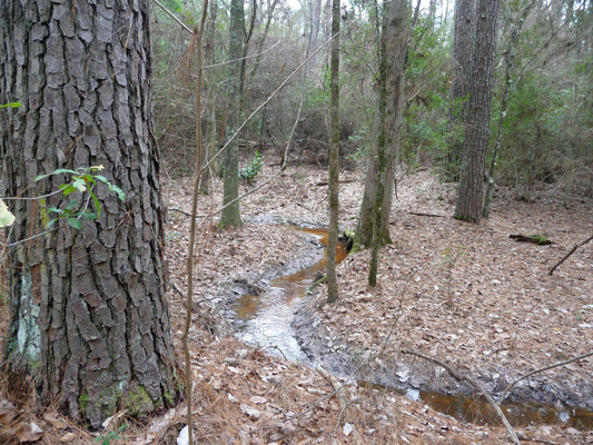
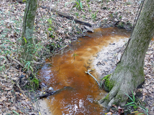
There was a lot of moving water because of the rain the day before. And I was intrigued by the patterns in the white sand caused by the coffee-colored water as it moved on by.
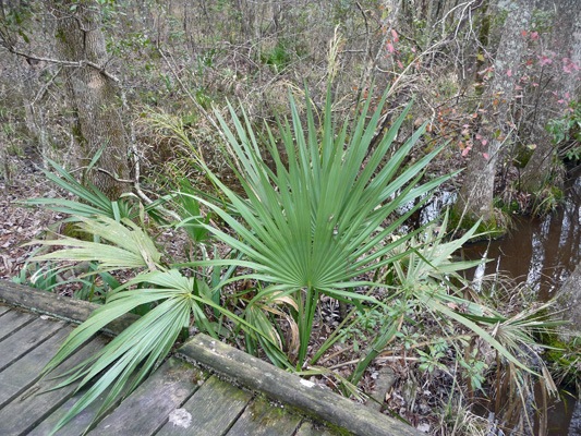
A little ways on we came to a long boardwalk-type bridge with palmettos nearby. These were the only palmettos we saw in the park. Clearly they require just the right mix of conditions.
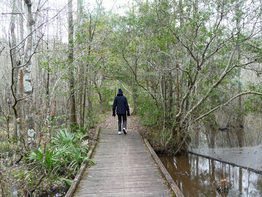
Exactly what those conditions are, I don’t know. But here’s a view of the bridge so you can make up your own mind. Yes, that’s Walter all bundled up. We put on our coats and hats and gloves when we started out and neither of us ever got too warm—47 with a brisk breeze and no sun is cold, frankly.
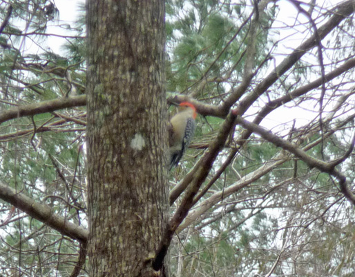
When we got back to the trailer we spied a bunch of cardinals on the edge of Gum Slough and then up in the tree I saw a pair of red-bellied woodpeckers. This one doesn’t look that much like a woodpecker here.
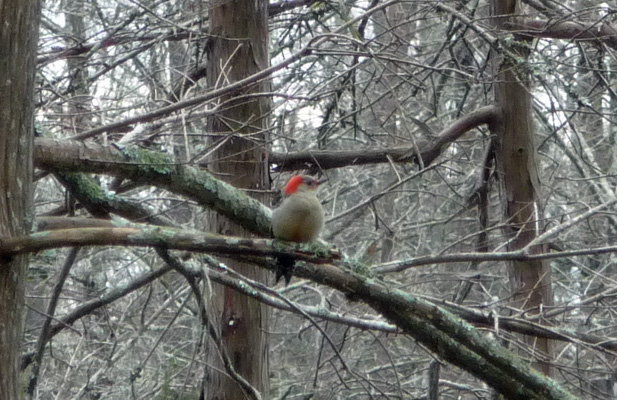
But in this side view it’s very clear, this is a woodpecker.
By late afternoon, the clouds had blown through and the sun was out. The temperature got up into the low 50’s. But that meant it got even colder that night—down to 32 by morning. We stayed in bed and ran the heater for a long time before we ventured out to start the day. It was in the mid-40’s when we broke camp on Saturday January 23rd and we were both COLD by the time we were done since we hadn’t put our coats on.
We drove west to the town of Livingston and stopped at Rainbow’s End, the headquarters for the Escapees organization. We hoped to pick up our mail from our new mail box there, but the mail room isn’t open on Saturdays. Ah well, we’ll be back there later in the week and we’ll get our mail then.
Just a heads up: we’re becoming Texas residents come the first of March. The state of Washington (and most states besides Texas, Florida and South Dakota) won’t allow us to be residents without a actual residential address. Our mailbox isn’t enough. So we are becoming Texas residents so we can renew our drivers licenses and get health insurance (which also requires a dirt address) without having to fib about where we live. Our new mailing address is:
198 Rainbow Drive #9853 Livingston, TX 77399-1098
From Livingston, we drove on another 50 miles (big deal we went over 100 miles in a day!) to Huntsville State Park just outside the town of Huntsville and about 50 miles north of Houston. And the most amazing thing happened on this drive: There were rolling hills! For over a month everything has been flat. But somewhere just west of Martin Dies State Park the country changed and there were gentle hills for the first time and they just kept rolling all the way to Huntsville.
Huntsville is a good-sized town and it was a lovely sunny day so things were hopping when we went to check in. They still had campsites but instead of the park being mostly empty, it was mostly full—a big change for us after the last few parks that were mostly empty. We got a nice water and power site with a peekaboo water view all for $20 a night with our Texas State Parks pass paying our day use fees.
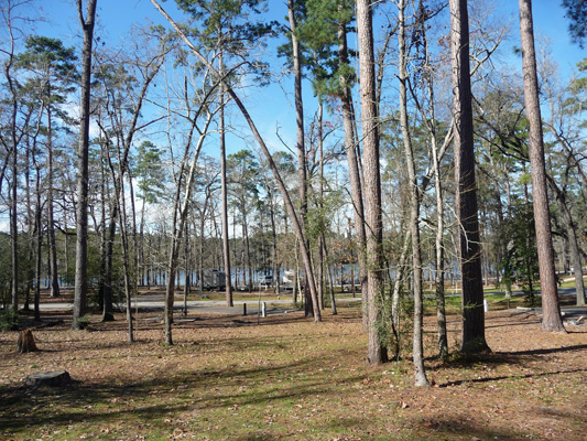
It had warmed up into the mid 50’s and the sun was out so we left the door open for a while to enjoy some fresh air. But once again, it was set to be cold. It was 36 degrees by 9:30 that night and made it down to 32 again in the morning. I took the above photo on Sunday after nearly everyone packed up and left to go home. When we arrived on Saturday all those sites were full of tents and RVs and kids riding bikes and scooters.
There was no park WiFi in the campground but our hot spot worked fine. Once again, our Virgin Mobile (Sprint network) phones barely worked. We have surrendered and ordered a Verizon phone for Walter so we will actually have a phone that works most of the time. It’s just gotten too frustrating not having a phone most of the time, besides it’s probably not wise to be driving all these miles with a phone that doesn’t work outside of big cities.
