Next we drove the south edge of Glacier National Park on Highway 2. It’s a beautiful drive and we were glad for the excuse to drive this way since we couldn’t take the trailer over the Going to the Sun Road—you can only be 21 feet long and truck and trailer are way over that. We wound our way over the Continental Divide and through East Glacier (where there’s a train station and a cool old lodge). Just before we got to the turn-off to Two Medicine we noticed a sign that said you couldn’t take trailers over the the highway up to St. Mary! Huh? Nowhere in any of the literature had we seen that little bit of info.
We asked at the National Park entry gate for Two Medicine if there was another way to get to St. Mary and the ranger calmly told us we’d need to drive back down to East Glacier and go out over to Browning (in the Blackfeet Indian Reservation) and then on up to St. Mary. We’d gone to the grocery store in Hungry Horse to avoid going to Browning. Ah well, the best laid plans and all that. If we’d know all this we wouldn’t have gone to Two Medicine and that would have been a shame because it’s gorgeous and we both really liked it.
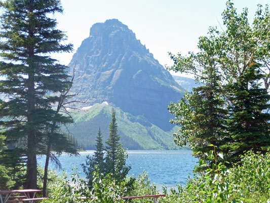
The picnic area at Two Medicine was nearly empty and we found an open area where we could easily park the trailer so we could have lunch. Here’s the view of Two Medicine Lake from the picnic grounds.
Here’s Rosita with the view behind her so you can see the view we had for lunch.
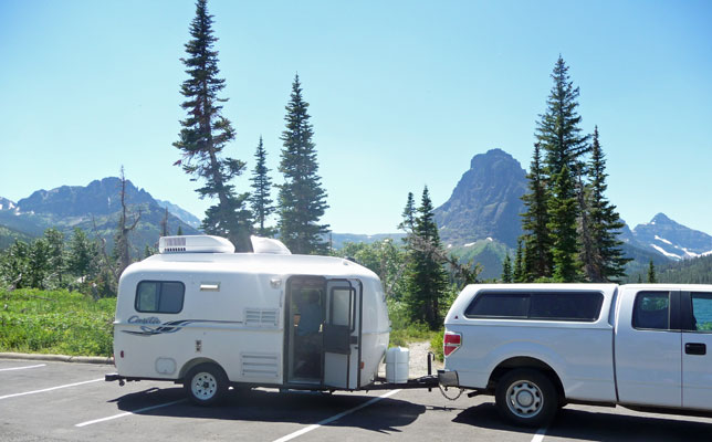
The wind was blowing and it wasn’t nearly as hot on this side of the mountains. But of course the campground was full too. A large Blackfeet Indian extended family arrived as we were getting ready to leave and nearly boxed us in with all their cars. I stopped and talked to one of the women and she said that it was really pretty here in the fall—in late August and early September. Hmmmm sounds like winter comes awfully early here.
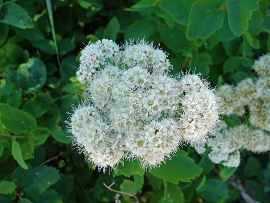
There were lots of Birch-leaved Spiraea (Spiraea betulifolia) in bloom
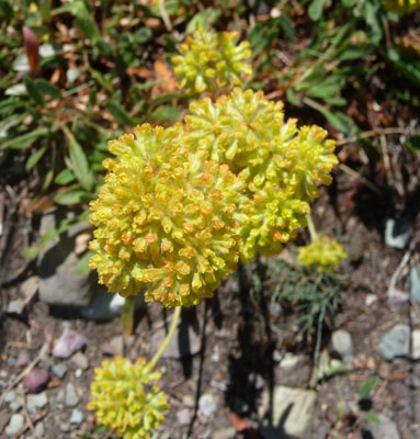
And lots of Yellow Buckwheat (Eriogonum flavum) too.
I grabbed one more photo of the lake before we took off.
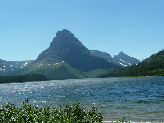
The parking lot down by the lake was nearly full (you can take boat trips out onto the lake) but nothing in comparison to the crowds we saw on the west side of the park. The parking lot at the trailhead for a popular hike to a waterfall was full but that’s to be expected mid-afternoon at high season.
We drove back to East Glacier, up through Browning (nothing to write home about but they do have two decent-sized grocery stores) and on to St. Mary. Our campsite was waiting for us in the St. Mary campground. There are very few trees in the campground and our site was in the willow thicket facing south. The good news is that the breeze came up to help cool us off and you could sit out in the shade of the trailer in the late afternoon.
Here’s a panorama view from our campsite. It’s very different terrain from the other side of the mountains. It turns out that the mountains end and the prairie begins more suddenly here than anywhere else on the eastern slope of the Rockies. It was very impressive (the prairie begins on the left).

The next morning we got up and got moving so that we could be at the Visitor’s Center at 10 am to make the 10:30 shuttle bus. We made it okay and even got seats for the ride up to Sunrift Gorge. Our plan was to get off the shuttle at Sunrift Gorge, hike down to Baring Falls and then over to St Mary Falls. And then instead of hiking all the way back to Sunrift, we’d catch the shuttle at the St. Mary Falls stop. I checked with the ranger in the Visitor’s Center to assure that this would work and she agreed it not only would work but would also reduce the hike to 3 miles—just about right for us.
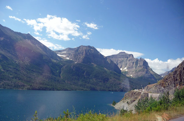
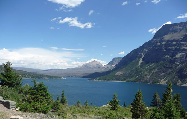
I managed to get one decent photo of St Mary Lake from the shuttle bus because of course we were stopped for construction! This time it was a crew of stonemasons working on the low retaining walls that substitute for guard rails on the Going to the Sun Road. Yes, we’re on the Going to the Sun Road again—this time the half that’s east of Logan Pass.
We got off the bus at Sunrift Gorge where a river comes through a small slot and then cascades down the hill.
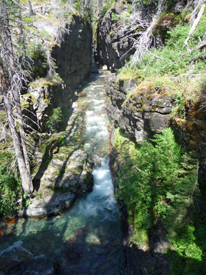
Here’s a close-up shot of the slot.
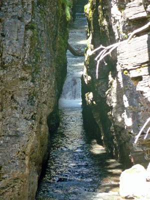
The trail then leads under the highway through this nifty arch.
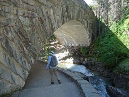
Meanwhile the river cascades along in a great roar.
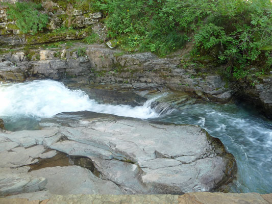
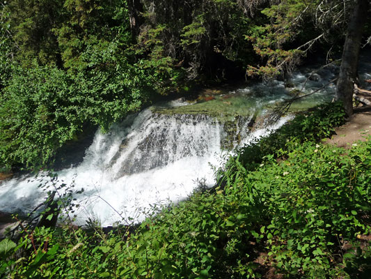
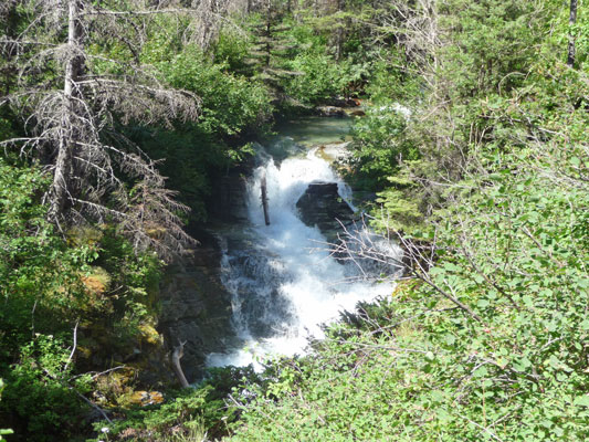
As the trail makes its way down the hill the river goes over a series of small waterfalls.
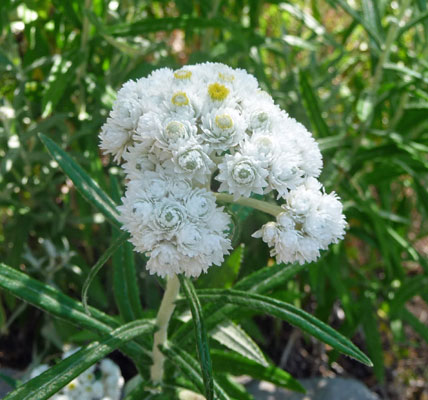
There were flowers along the trail including Pearly Everlasting (Anaphalis margaritacea)
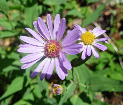
And Leafy Aster (Aster foliaceus)
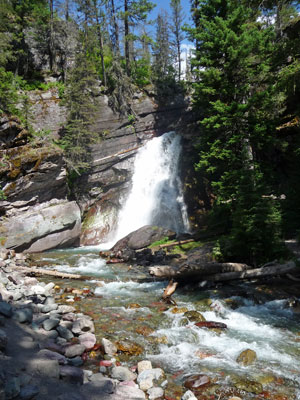
We wound through the woods and over a nice wooden bridge to a view of Baring Falls.
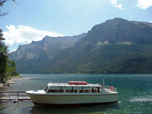
Then we made our way further down the hill until we reached the lakeshore. There was a mooring spot there with a tour boat waiting for a load of folks who had hiked out to St Mary Falls. We met them later on as they were heading back to the boat.
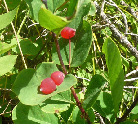
The trail then went back UP the hill again through the woods and out along the ridge above the lake. There were more flowers including these strange red berries that seemed to always come in pairs. I think that they are Canada Buffaloberry (Shepherdia canadensis)
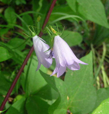
There were also Harebells (Campanula rotundifolia)
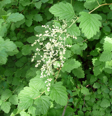
Ocean Spray (Holodiscus discolor) just coming into bloom
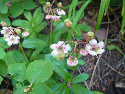
And Pipsissewa (Chimaphila umbellata)
We stopped and rested at the top and had this great view of the lake.
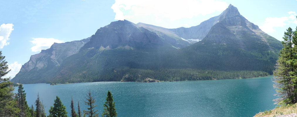
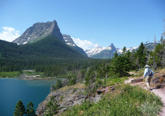
Then we moved on hiking towards the end of the lake.
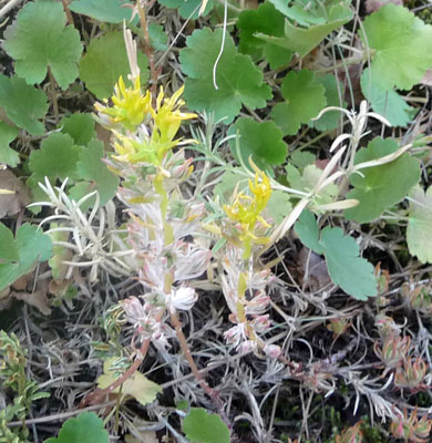
There were little patches of Lance-leaved stonecrop (Sedum lanceolatum) growing on the dry sunny ridge.
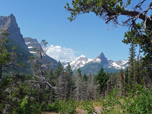
The trail winds through the woods and out past the end of the lake so that you get a great view of the mountains.
Just when we were starting to get hot and hungry we came around a curve in the trail and you could hear the falls. Relief was clearly on the way! Shortly thereafter we crossed a bridge and there they were.
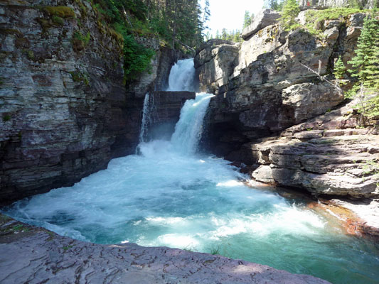
There is so much mist from these falls that it was actually cold standing here on this ledge. There is a rocky hillside that you can sit on but you needed to be wearing fleece to stand it. So we went around the corner and found a spot for lunch with a nice view of the river where it was cool but not cold.
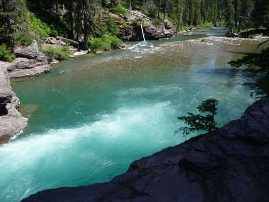
There were people who climbed down on the rocks on the opposite side intent of going swimming. They never got any further than putting their toes in, clearly the water was WAY too cold.
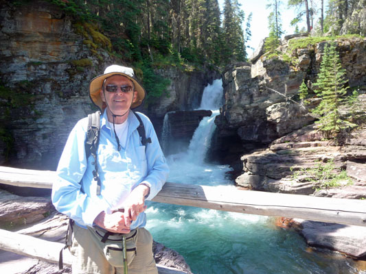
After lunch we stopped to take a few more photos before we started the hike back. Here’s Walter standing on the bridge with the falls behind him.
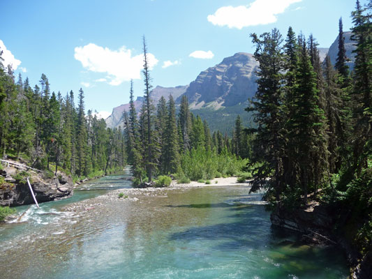
And this is the view from the bridge looking out along the river.
We retraced our steps along the trail but of course the views were different because we were headed the other way.
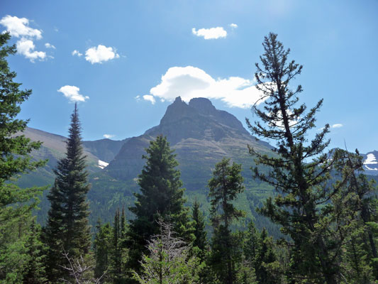
By reading trail signs and asking folks where they’d come down the trail we actually managed to find the right trail back up to the road and the St Mary shuttle stop—not bad given there were at least 3 choices! The only hitch was that someone had parked their very large pickup truck in the bus loading zone. We were a little concerned as to whether the bus driver would be able to see that we were waiting and stop. Not to worry. The rangers arrived and asked if the truck belonged to us and since it didn’t, they began the process of ‘dealing with it’ which seemed to entail calling for a tow truck.
We’d planned on catching the westbound shuttle on up to Logan Pass and then back again to St Mary to see the whole road. But the eastbound bus was the first that arrived and we were tired enough that we surrendered and climbed on board. It was standing room only but that was okay, we found a place on the floor in the back where we could actually look out the windows. The bus even slowed down at one point so I could grab another shot of St Mary Lake.
In Part III, we’ll be spending the day up at Many Glacier and then taking you on up to Waterton Lakes National Park in Alberta.
