
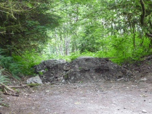
Instead of going up a wide gravel road we picked our way across these piles of dirt blocking another old road.
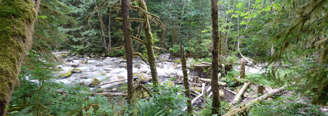
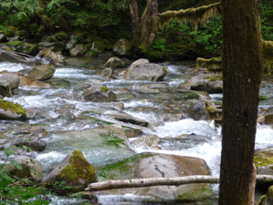
After a while we found a trail that followed along Trout Creek.
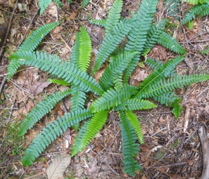
It was really pretty and there were tons of ferns including some very nice Deer Ferns.
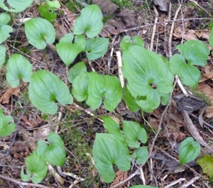
And False Lily of the Valley (Maianthemum dilatatum)
The trail got fainter and fainter but we kept following it and the day-glow pink markers hikers had left to lead the way.
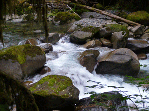
The creek had tons of lovely cascades.
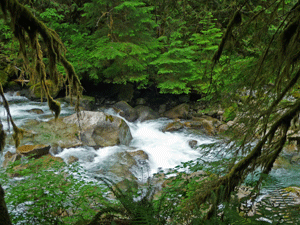
I like this shot especially.
Eventually we got to a place where we couldn't find any more pink tags hanging anywhere and only the faintest hint of a trail. For reasons beyond me we both decided to keep following what little sign of a trail that we could find rather than giving up and going back--something that we'd normally do.
Things got more and more rugged and it got to the point where I was clear that there was no way I was going to go back DOWN some of the things we'd gone up.
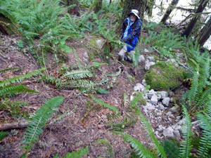
And so we were committed to carry on. We bushwhacked our way up a steep hillside following someone else's foot prints, trying to find our way around the ridge of rock at the top that we knew blocked our way to the road/trail we were SUPPOSED to be on.
We had a good topo map to show us where we were and where we wanted to go. Looking at it, it appears that we climbed about 500 feet in elevation through thick underbrush, fallen trees, and lots of boulders before we could finally see a line of white alder trunks marking the edge of the road. Knowing the road was right there helped motivate us to struggle up the last bit of nearly vertical climb pulling our way up holding onto sword fern fronds.
By the time we reached the road we'd been at it for well over 1 1/2 hours but had probably made it only a mile and were pooped. Neither of us was interested in hiking another 1 mile uphill to the mine. So we turned around and followed the gravel road back to the car and lunch!
At first the road looked pretty decent and then we reached the first of many washouts that had been lined with large riprock.
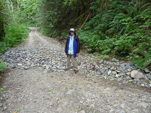
No way you could take anything but a high clearance vehicle through these babies.
There's an 800 ft gain on the hike to the mine and having hiked down the part we did we now know that most of that gain is in the first mile!
It was a great misadventure. I'd never bushwhacked very far before and I can assure you that I won't sign up to do that much again in that steep of terrain any time soon.